Havilah in Kern County, California — The American West (Pacific Coastal)
Havilah
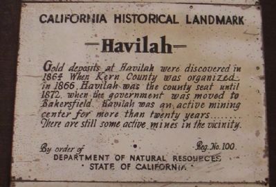
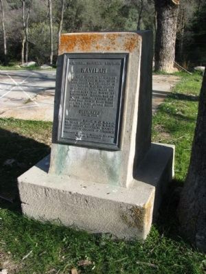
California Historical Landmark
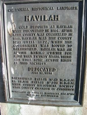
Gold deposits at Havilah were discovered in 1864. Havilah was the county seat between 1866, when Kern County was organized, and 1872, when the government was moved to Bakersfield. Havilah was an active mining center for more than 20 years, and there are still some operating mines in this vicinity.
Erected 1938 by Bakersfield Parlor No 42 N.S.G.W., El Tejon Parlor No 239 N.D.G.W, Kern County Historical Society, Kern County Chamber of Commerce. (Marker Number 100.)
Topics and series. This historical marker is listed in these topic lists: Notable Places • Settlements & Settlers. In addition, it is included in the California Historical Landmarks, and the Native Sons/Daughters of the Golden West series lists. A significant historical year for this entry is 1864.
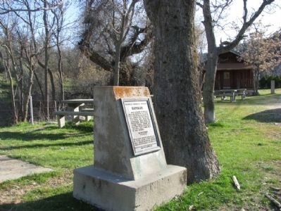
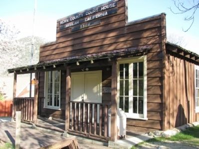
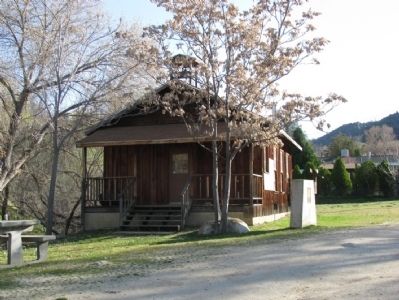
Location. 35° 31.092′ N, 118° 30.978′ W. Marker is in Havilah, California, in Kern County. Marker is on Caliente-Bodfish Road (County Route 483), on the right when traveling north. The marker is located between historical 1867 Havilah School House and 1866 Kern County Court House/Museum. Touch for map. Marker is at or near this postal address: 6800 County Road 483, Caliente CA 93518, United States of America. Touch for directions.
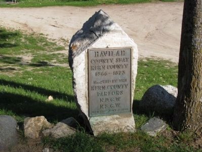
Other nearby markers. At least 8 other markers are within 9 miles of this marker, measured as the crow flies. Historic Havilah (here, next to this marker); Stage Robbery! (a few steps from this marker); a different marker also named Havilah (approx. ¼ mile away); First Catholic Church and Cemetery in Kern County (approx. ¼ mile away); Silver City Ghost Town (approx. 5.7 miles away); USS Arizona (approx. 6½ miles away); Keyesville (approx. 7½ miles away); Walker Basin (approx. 8½ miles away). Touch for a list and map of all markers in Havilah.
Also see . . . Historic Havilah. Sierra Nevada Geotourism website entry:
July 1864 is the date signaling the birthday of the town. Asbury Harpending, a Kentuckian who had been involved in an abortive plot to seize California for the Confederacy during the Civil War which was still raging, named the town. (Submitted on January 21, 2012.)
Credits. This page was last revised on January 22, 2024. It was originally submitted on January 21, 2012, by Denise Boose of Tehachapi, California. This page has been viewed 752 times since then and 31 times this year. Photos: 1, 2, 3, 4, 5. submitted on January 21, 2012, by Denise Boose of Tehachapi, California. 6. submitted on February 20, 2012, by Lester J Letson of Fresno, California. 7, 8. submitted on May 22, 2015, by Denise Boose of Tehachapi, California. • Syd Whittle was the editor who published this page.
