Manning in Clarendon County, South Carolina — The American South (South Atlantic)
Ebenezer Baptist Church
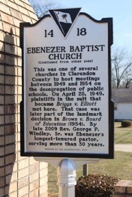
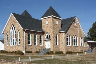
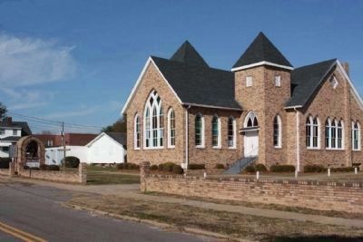
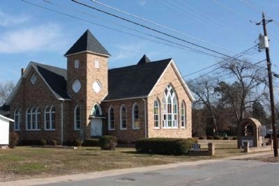
This church was founded about 1869 by Mary Scott “Aunt Mary” Harvin, and held its first services in a nearby brush arbor. In 1881 church trustees purchased a one-half acre lot here from Dr. J.G. Dinkins for $35.00. The present church, built in 1901, was described as “enlarged and beautified on a very modern style” when two towers, a gallery, and anterooms were added in 1912.
(Reverse text)
This was one of several churches in Clarendon County to host meetings between 1949 and 1954 on the desegregation of public schools. On April 20, 1949, plaintiffs in the suit that became Briggs v. Elliott met here. That case was later part of the landmark decision in Brown v. Board of Education (1954). By late 2009 Rev. George P. Windley, Sr. was Ebenezer's longest-tenured pastor, serving more than 30 years.
Erected 2010 by The Congregation,. (Marker Number 14-18.)
Topics. This historical marker is listed in these topic lists: African Americans • Churches & Religion. A significant historical month for this entry is April 1861.
Location. 33° 41.808′ N, 80° 12.501′ W. Marker is in Manning, South Carolina, in Clarendon County. Marker is on Dinkins Street near Grace Street, on the right when traveling west. Touch for map. Marker is at or near this postal address: 105 Dinkins Street, Manning SC 29102, United States of America. Touch for directions.
Other nearby markers. At least 8 other markers are within walking distance of this marker. Pond Bluff to St Stephens (about 600 feet away, measured in a direct line); Fuel 24 (about 700 feet away); Ambush at Half-Way Swamp (about 700 feet away); The Swamp Fox (about 800 feet away); Murray's Ferry - Santee River (approx. 0.2 miles away); Francis Marion Reflections (approx. 0.2 miles away); Clarendon County Veterans Memorial (approx. 0.2 miles away); Clarendon County Confederate Monument (approx. 0.2 miles away). Touch for a list and map of all markers in Manning.
Related markers. Click here for a list of markers that are related to this marker. This is a list of Brown v. Board of Education markers.
Credits. This page was last revised on June 16, 2016. It was originally submitted on January 22, 2012, by Mike Stroud of Bluffton, South Carolina. This page has been viewed 941 times since then and 66 times this year. Photos: 1, 2, 3, 4, 5. submitted on January 22, 2012, by Mike Stroud of Bluffton, South Carolina.


