Fountain Springs in Tulare County, California — The American West (Pacific Coastal)
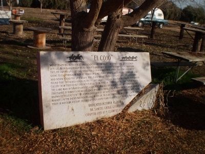
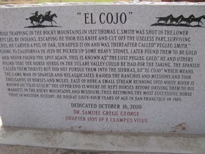
"El Cojo"
Erected 2010 by Dr. Samuel Gregg George Chapter 1855 of E Clampus Vitus.
Topics and series. This historical marker is listed in this topic list: Settlements & Settlers. In addition, it is included in the E Clampus Vitus series list. A significant historical year for this entry is 1827.
Location. 35° 53.553′ N, 118° 55.073′ W. Marker is in Fountain Springs, California, in Tulare County. Marker is at the intersection of Avenue 56 (County Road J22) and Old Stage Road, on the right when traveling east on Avenue 56. This marker is located to the left of the Fountain Springs Store, next to white pipe rail. Touch for map. Marker is in this post office area: Porterville CA 93257, United States of America. Touch for directions.
Other nearby markers. At least 8 other markers are within 11 miles of this marker, measured as the crow flies. Fountain Springs (within shouting distance of this marker); Old Stage Road (within shouting distance of this marker); Tailholt (approx. 6.9 miles away); Dutch Corners (approx. 7.2 miles away); The Original Walker Pass (approx. 8 miles away); Garcés Baptismal Site (approx. 10.1 miles away); Welcome to the Tule River Indian-Reservation (approx. 10.4 miles away); Tule River Indian Reservation (approx. 10.4 miles away). Touch for a list and map of all markers in Fountain Springs.
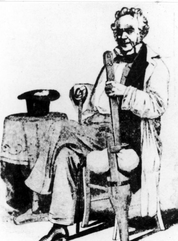
Regarding "El Cojo". According to the Utah Department of Cultural & Community Engagement, "Pegleg Smith was a early explorer and guide in the southwest until he became an outlaw by kidnapping Native American children to sell to Mexicans and kidnapping Mexican horses to sell to Californians."
Also see . . .
1. Thomas L. Smith. Wikipedia entry (Submitted on October 7, 2022, by Larry Gertner of New York, New York.)
2. Thomas Long “Peg Leg Smith” Smith. Find A Grave entry. (Submitted on September 14, 2020, by Larry Gertner of New York, New York.)

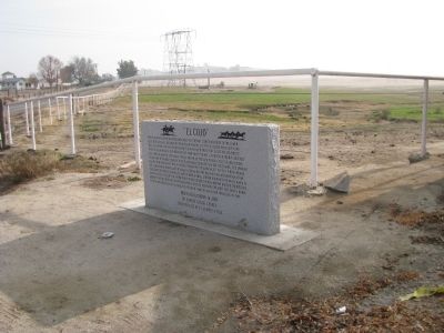
Photographed By Lester J Letson, circa January 24, 2014
4. the original damaged "El Cojo" Marker in 2014
In 2012 a vehicle backed into the original marker and snapped it off at the base. The driver drove away, but people who saw him hit the marker took down his license plate and he was located. Fortunately he was insured, and fortunately the stonemasons that made the original marker had the original template, so an identical marker was sandblasted and stands it its place today.
Credits. This page was last revised on October 7, 2022. It was originally submitted on January 22, 2012, by Denise Boose of Tehachapi, California. This page has been viewed 1,080 times since then and 60 times this year. Photos: 1. submitted on January 22, 2012, by Denise Boose of Tehachapi, California. 2. submitted on October 7, 2022, by Larry Gertner of New York, New York. 3. submitted on January 22, 2012, by Denise Boose of Tehachapi, California. 4. submitted on April 30, 2014, by Lester J Letson of Fresno, California. • Syd Whittle was the editor who published this page.


