Cockeysville in Baltimore County, Maryland — The American Northeast (Mid-Atlantic)
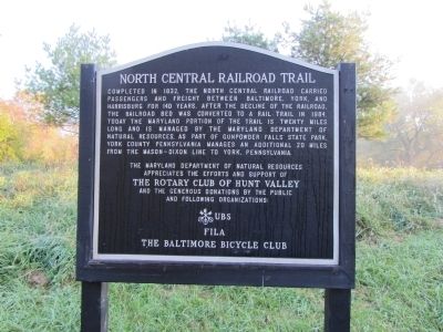
North Central Railroad Trail
The Maryland Department of Natural Resources appreciates the efforts and support of the Rotary Club of Hunt Valley and the generous donations of the public and following organizations: UBS, FILA, The Baltimore Bicycle Club.
Erected by Maryland Department of Natural Resources.
Topics. This historical marker is listed in this topic list: Railroads & Streetcars. A significant historical year for this entry is 1832.
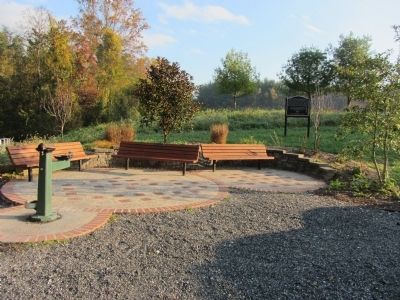
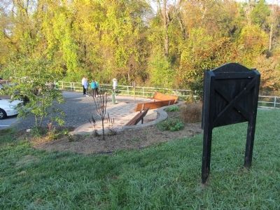
Location. 39° 30.115′ N, 76° 38.011′ W. Marker is in Cockeysville, Maryland, in Baltimore County. Marker can be reached from Paper Mill Road (Maryland Route 145) 1.2 miles east of York Road (Maryland Route 45), on the left when traveling east. Marker is in the parking lot for the trail. Touch for map. Marker is in this post office area: Cockeysville MD 21030, United States of America. Touch for directions.
Other nearby markers. At least 8 other markers are within 3 miles of this marker, measured as the crow flies. Gilmor's Raid (a few steps from this marker); Lime Kiln (approx. 0.4 miles away); Phoenix (approx. 1.4 miles away); Hayfields (approx. 2.1 miles away); Sparks (approx. 2.6 miles away); "...To Those Who Served" (approx. 2.6 miles away); Third and Last County Almshouse (approx. 2.9 miles away); White Marble Block (approx. 2.9 miles away). Touch for a list and map of all markers in Cockeysville.
Credits. This page was last revised on January 21, 2022. It was originally submitted on March 4, 2012, by F. Robby of Baltimore, Maryland. This page has been viewed 1,066 times since then and 20 times this year. Photos: 1, 2, 3. submitted on March 4, 2012, by F. Robby of Baltimore, Maryland.


