West Bronx in Bronx County, New York — The American Northeast (Mid-Atlantic)
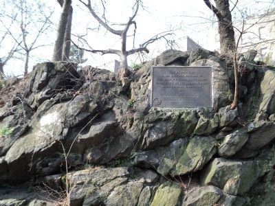
Fort Number Four
of the exterior defenses of
Fort Washington and King’s Bridge
constructed by the American Army
under General Washington
1776
---------------
The Daughters of the Revolution
State of New York
erected this memorial
1914
Erected 1914 by The Daughters of the Revolution - State of New York.
Topics and series. This historical marker is listed in this topic list: War, US Revolutionary. In addition, it is included in the Daughters of the American Revolution, and the Former U.S. Presidents: #01 George Washington series lists. A significant historical year for this entry is 1776.
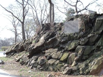
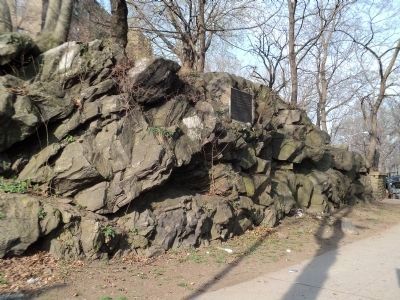
Location. 40° 52.431′ N, 73° 53.916′ W. Marker is in Bronx, New York, in Bronx County. It is in West Bronx. Marker is on Reservoir Avenue, on the right when traveling east. Touch for map. Marker is in this post office area: Bronx NY 10468, United States of America. Touch for directions.
Other nearby markers. At least 8 other markers are within 2 miles of this marker, measured as the crow flies. Original King's Bridge (approx. half a mile away); Fort Independence Park (approx. half a mile away); Marble Hill Playground (approx. 0.6 miles away); Carolina Baptist Church (approx. 0.6 miles away); The Wading Place / Kings Bridge / Fort Prince Charles (approx. 0.6 miles away); Algernon Sydney Sullivan (approx. 1.1 miles away); Van Cortlandt Mansion (approx. 1.2 miles away); Van Cortlandt House (approx. 1.2 miles away). Touch for a list and map of all markers in Bronx.
Credits. This page was last revised on January 31, 2023. It was originally submitted on March 23, 2012, by Bill Coughlin of Woodland Park, New Jersey. This page has been viewed 1,009 times since then and 47 times this year. Photos: 1, 2, 3, 4, 5. submitted on March 23, 2012, by Bill Coughlin of Woodland Park, New Jersey.


