West Bronx in Bronx County, New York — The American Northeast (Mid-Atlantic)
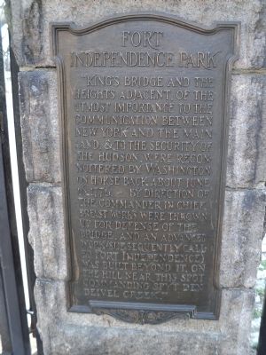
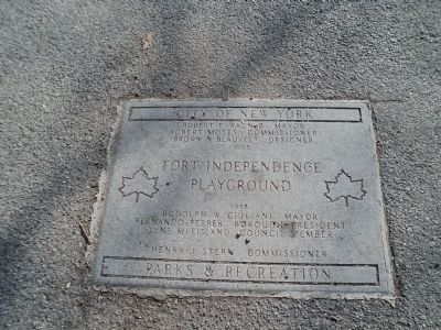
Fort Independence Park
“King’s Bridge and the heights adjacent, of the utmost importance to the communication between New York and the mainland, & to the security of the Hudson, were reconnoitered by Washington on horseback about June 16, 1776. By direction of the Commander-in-Chief, breast works were thrown up for the defense of the bridge, and an advanced work (subsequently called Fort Independence) was built beyond it, on the hill near this spot commanding Spyt Den Deivel Creek.”
Topics. This historical marker is listed in this topic list: War, US Revolutionary. A significant historical date for this entry is June 16, 1922.
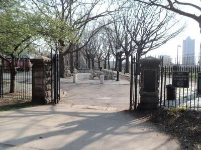
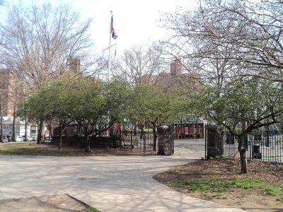
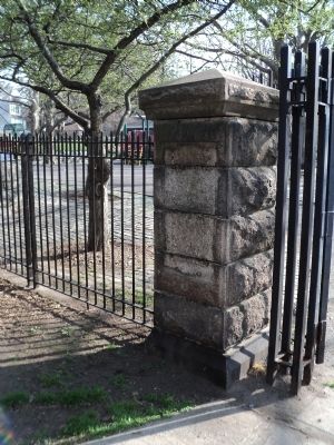
Location. 40° 52.886′ N, 73° 53.775′ W. Marker is in Bronx, New York, in Bronx County. It is in West Bronx. Marker is at the intersection of Sedgwick Avenue and Giles Place, on the right when traveling north on Sedgwick Avenue. Marker is on the gatepost at the entrance to Fort Independence playground. Touch for map. Marker is in this post office area: Bronx NY 10463, United States of America. Touch for directions.
Other nearby markers. At least 8 other markers are within walking distance of this marker. Fort Number Four (approx. half a mile away); Algernon Sydney Sullivan (approx. 0.6 miles away); Marble Hill Playground (approx. 0.7 miles away); Van Cortlandt Mansion (approx. 0.7 miles away); Van Cortlandt House (approx. 0.7 miles away); Cortlandt House (approx. 0.7 miles away); Original King's Bridge (approx. 0.7 miles away); Adoption of the Constitution (approx. 0.7 miles away). Touch for a list and map of all markers in Bronx.
Credits. This page was last revised on January 31, 2023. It was originally submitted on March 23, 2012, by Bill Coughlin of Woodland Park, New Jersey. This page has been viewed 959 times since then and 32 times this year. Photos: 1, 2, 3, 4, 5. submitted on March 23, 2012, by Bill Coughlin of Woodland Park, New Jersey.
