Columbia Falls in Washington County, Maine — The American Northeast (New England)
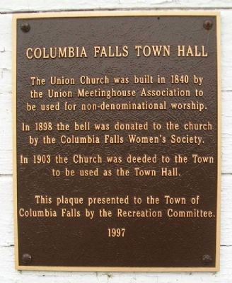
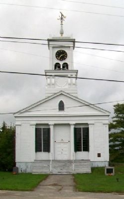
Columbia Falls Town Hall
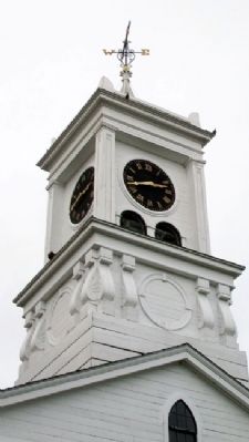
In 1898 the bell was donated to the church by the Columbia Falls Women's Society.
In 1903 the Church was deeded to the Town to be used as the Town Hall.
This plaque presented to the Town of Columbia Falls by the Recreation Committee.
Erected 1997 by Columbia Falls Recreation Committee.
Topics. This historical marker is listed in these topic lists: Charity & Public Work • Churches & Religion • Settlements & Settlers. A significant historical year for this entry is 1840.
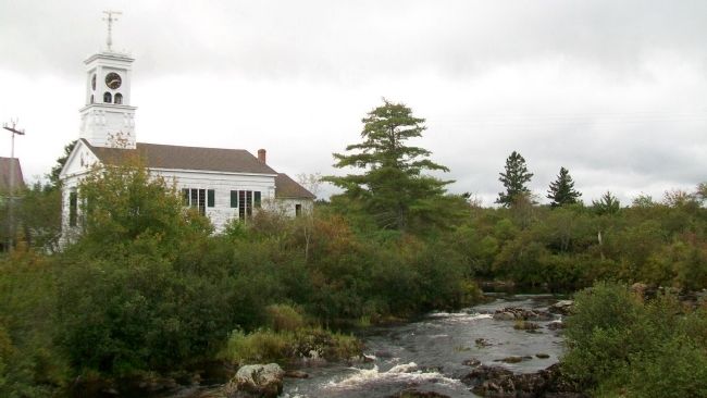
Location. 44° 39.208′ N, 67° 43.717′ W. Marker is in Columbia Falls, Maine, in Washington County. Marker is at the intersection of Main Street and the Pleasant River, on the left when traveling east on Main Street. Touch for map. Marker is at or near this postal address: 170 Main Street, Columbia Falls ME 04623, United States of America. Touch for directions.
Other nearby markers. At least 8 other markers are within 8 miles of this marker, measured as the crow flies. Early Settlers of the Pleasant River (here, next to this marker); Veterans Memorial (a few steps from this marker); The Ruggles House (about 600 feet away, measured in a direct line); Capt. Bucknam House (approx. 0.2 miles away); Addison (approx. 2˝ miles away); World War Memorial (approx. 4.7 miles away); Hassey’s Riverside Park (approx. 7.6 miles away); Jonesboro Union Church (approx. 7.7 miles away). Touch for a list and map of all markers in Columbia Falls.
Credits. This page was last revised on June 16, 2016. It was originally submitted on May 4, 2012, by William Fischer, Jr. of Scranton, Pennsylvania. This page has been viewed 625 times since then and 13 times this year. Photos: 1, 2, 3, 4. submitted on May 4, 2012, by William Fischer, Jr. of Scranton, Pennsylvania.


