Weaverville in Trinity County, California — The American West (Pacific Coastal)
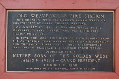
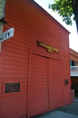
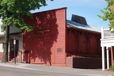
Old Weaverville Fire Station
On January 17, 1910, it was purchased by the Weaverville Fire District and was their fire station until 1949.
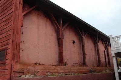
In 1979, the local fire district, with funding from the California Department of Parks and Recreation and the local Rotary Club, built a protective structure to preserve the rammed earth walls.
Erected 1980 by Native Sons of the Golden West, Grand Parlor.
Topics and series. This historical marker is listed in these topic lists: Asian Americans • Notable Buildings. In addition, it is included in the Chinese Heritage Sites of the American West, and the Native Sons/Daughters of the Golden West series lists. A significant historical month for this entry is January 1889.
Location. 40° 43.948′ N, 122° 56.416′ W. Marker is in Weaverville, California, in Trinity County. Marker is on Main Street (California Route 3 / 229). Touch for map. Marker is at or near this postal address: 615 Main Street, Weaverville CA 96093, United States of America. Touch for directions.
Other nearby markers. At least 8 other markers are within walking distance of this marker. Cameron Building Site (here, next to this marker); Weaverville Chinatown (a few steps from this marker); E Clampus Vitus 1855 & 1962 (a few steps from this marker); Weaverville / Mountain Charlie (within shouting distance of this marker); Pacific Brewery (within shouting distance of this marker); Won Lim Miao (about 300 feet away, measured in a direct line); The Carr Building (about 300 feet away); Joss House (about 300 feet away). Touch for a list and map of all markers in Weaverville.
Credits. This page was last revised on June 16, 2016. It was originally submitted on June 5, 2012, by Barry Swackhamer of Brentwood, California. This page has been viewed 827 times since then and 23 times this year. Photos: 1, 2, 3, 4. submitted on June 5, 2012, by Barry Swackhamer of Brentwood, California. • Syd Whittle was the editor who published this page.


