Fowlkes in Dyer County, Tennessee — The American South (East South Central)
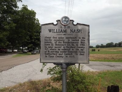
William Nash
Erected by Tennessee Historical Commission. (Marker Number 4 B 19.)
Topics and series. This historical marker is listed in these topic lists: Patriots & Patriotism • Settlements & Settlers • War, US Revolutionary. In addition, it is included in the Tennessee Historical Commission series list. A significant historical year for this entry is 1763.
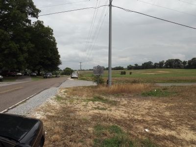
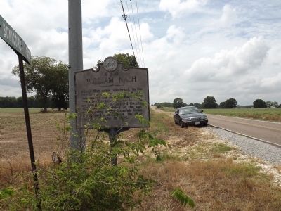
Location. 35° 57.829′ N, 89° 19.261′ W. Marker is in Fowlkes, Tennessee, in Dyer County. Marker is at the intersection of Old Highway 20 (Tennessee Route 210) and Bonicord Road Extension, on the right when traveling east on Old Highway 20. Touch for map. Marker is in this post office area: Dyersburg TN 38024, United States of America. Touch for directions.
Other nearby markers. At least 8 other markers are within 6 miles of this marker, measured as the crow flies. Dyer County / Lauderdale County (approx. 5 miles away); Mrs. Rosa M. Parks (approx. 5.2 miles away); Otho French Strahl (approx. 5.7 miles away); Dyersburg City Cemetery Confederate Memorial (approx. 5.7 miles away); Brig. Gen. Otho French Strahl (approx. 5.7 miles away); Dyer County Walk of Fame (approx. 6 miles away); The Bank of Dyersburg (approx. 6 miles away); Dyer County WWII Memorial (approx. 6 miles away).
Credits. This page was last revised on June 16, 2016. It was originally submitted on June 12, 2012, by Ken Smith of Milan, Tennessee. This page has been viewed 1,339 times since then and 16 times this year. Photos: 1, 2, 3, 4. submitted on June 12, 2012, by Ken Smith of Milan, Tennessee. • Bernard Fisher was the editor who published this page.


