Eastman in Dodge County, Georgia — The American South (South Atlantic)
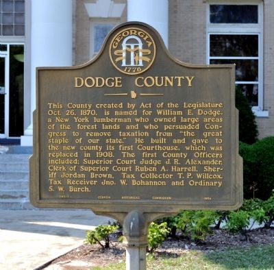
Dodge County
This County created by Act of the Legislature Oct. 26, 1870, is named for William E. Dodge, a New York lumberman who owned large areas of the forest lands and who persuaded Congress to remove taxation from “the great staple of our state.” He built and gave to the new county its first Courthouse, which was replaced in 1908. The first County Officers included: Superior Court Judge J.R. Alexander, Clerk of Superior Court Ruben A. Harrell, Sheriff Jordan Brown, Tax Collector T. P. Willcox, Tax Receiver Jno. W. Bohannon and Ordinary S.W. Burch.
Erected 1954 by Georgia Historical Commission. (Marker Number 045-1.)
Topics and series. This historical marker is listed in this topic list: Political Subdivisions. In addition, it is included in the Georgia Historical Society series list. A significant historical year for this entry is 1870.
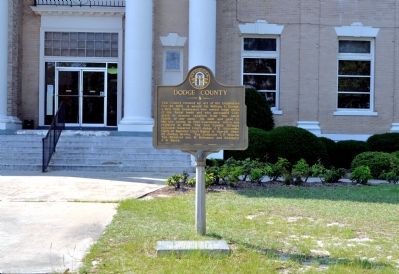
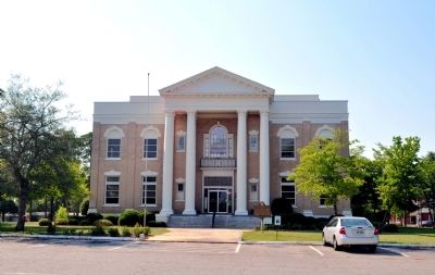
Location. 32° 12.045′ N, 83° 10.547′ W. Marker is in Eastman, Georgia, in Dodge County. Marker is on Courthouse Circle, 0 miles west of Eastman Dublin Highway (Georgia Route 117), in the median. The marker stands in front of the Dodge County Courthouse. Touch for map. Marker is at or near this postal address: 5018 Courthouse Circle, Eastman GA 31023, United States of America. Touch for directions.
Other nearby markers. At least 8 other markers are within 11 miles of this marker, measured as the crow flies. Dodge County Confederate Monument (within shouting distance of this marker); The Eastman-Bishop-Bullock House (approx. ¼ mile away); Jefferson Davis (approx. ¼ mile away); The Blackshear Road (approx. 0.6 miles away); Old Eastman School (approx. 0.7 miles away); Stuckey's (approx. 1.3 miles away); Orphans Cemetery (approx. 2.4 miles away); Normandale (approx. 10.1 miles away). Touch for a list and map of all markers in Eastman.
Also see . . . Dodge County. New Georgia Encyclopedia website entry:
The history of the Georgia Land & Timber Company, owned by the Dodge family, is complex at best, and many long-time residents of Dodge County are still bitter about the company and the Dodge family. (Submitted on July 8, 2012, by David Seibert of Sandy Springs, Georgia.)
Credits. This page was last revised on October 7, 2021. It was originally submitted on July 6, 2012, by David Seibert of Sandy Springs, Georgia. This page has been viewed 612 times since then and 28 times this year. Photos: 1, 2, 3. submitted on July 6, 2012, by David Seibert of Sandy Springs, Georgia. • Craig Swain was the editor who published this page.


