Fort Smith in Sebastian County, Arkansas — The American South (West South Central)
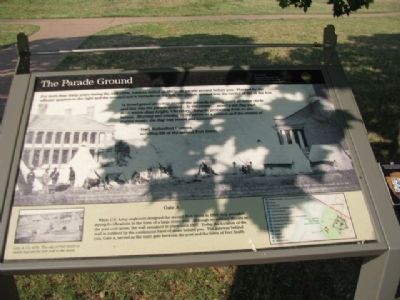
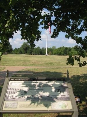
The Parade Grounds
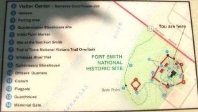
Fort Smith National Historic Site
— National Park Service, U.S. Department of the Interior —
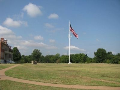
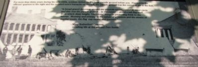
“A broad gravel driveway around the grounds encompassed an inner circle and this was the parade ground… In the center… stood a tall flagstaff, from which dizzy height, “Old Glory,” flung its protecting folds to the breeze. Morning and evening to the salute of a cannon and the strains of martial music, the flag was raised and lowered.”-Mary Rutherford Cravens, recalling life at the second Fort Smith.
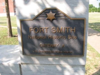
Gate A
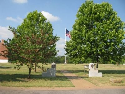
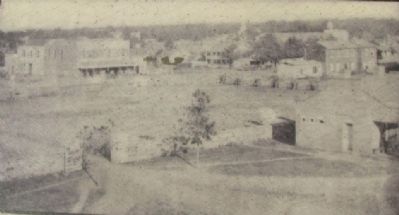
When U.S. Army engineers designed the second Fort Smith in 1838, they provided strong fortifications in the form of a large stonewall. Although no military threats to the post ever arose, the wall remained in place until 1897. Today, the location of the wall is outlined by the continuous band of stone behind you. The gateway behind you, Gate A, served as the main gate between the post and the town of Fort Smith.
Erected by National Park Service, U.S. Department of the Interior.
Topics. This historical marker is listed in this topic list: Military. A significant historical year for this entry is 1838.
Location. 35° 23.347′ N, 94° 25.767′ W. Marker is in Fort Smith, Arkansas, in Sebastian County. Marker is on Park Avenue, on the left when traveling north. Within the Fort Smith National Historic Site. Touch for map. Marker is at or near this postal address: 301 Parker Avenue, Fort Smith AR 72901, United States of America. Touch for directions.
Other nearby markers. At least 8 other markers are within walking distance of this marker. The Guardhouse, 1849-1871 (a few steps from this marker); The Women’s Jail, 1872-1888 (a few steps from this marker); The Flagstaff (within shouting distance of this marker); The Bastion That Never Was (within shouting distance of this marker); Deputy U.S. Marshal Bass Reeves (within shouting distance of this marker); Frisco Train Depot (within shouting distance of this marker); A Building Worth Saving (within shouting distance of this marker); Old Federal Building (within shouting distance of this marker). Touch for a list and map of all markers in Fort Smith.
Photographed By Denise Boose, July 13, 2012
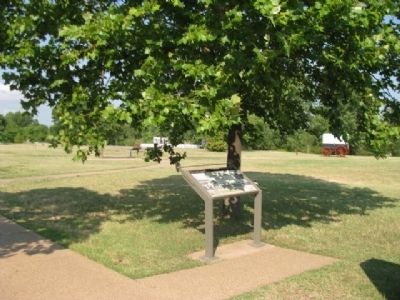
5. The Parade Grounds Marker
The photograph shows, Union Soldiers camped on the parade ground at Fort Smith, during the Civil War. With over two thousand troops garrisoned here, there was not adequate space for all in the buildings of the post. The photograph was taken from the opposite end of the parade grounds, the officers’ quarters are on the left and the barracks is on the right.
Credits. This page was last revised on June 12, 2020. It was originally submitted on August 6, 2012, by Denise Boose of Tehachapi, California. This page has been viewed 662 times since then and 27 times this year. Photos: 1, 2, 3, 4, 5, 6, 7, 8, 9, 10, 11. submitted on August 6, 2012, by Denise Boose of Tehachapi, California. • Craig Swain was the editor who published this page.
