Greeneville in Greene County, Tennessee — The American South (East South Central)
The Homestead Grounds
Andrew Johnson National Historic Site
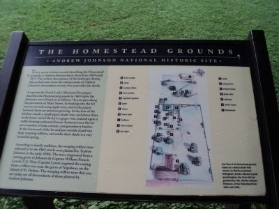
There are no written records describing the Homestead grounds as Andrew Johnson knew them from 1869 until 1875. The earliest descriptions of the landscape during that period come from the oral accounts of Andrew Johnsonís descendants twenty-five years after his death.
A reporter for Frank Leslieís Illustrated Newspaper describes the Homestead grounds in 1865 before the Johnsons moved back in as follows: “As you pass along the pavement on Main Street, by looking into the lot you see several young apple trees, and in the spaces between them are potatoes growing. In the rear of the kitchen stands a small aspen shade-tree, and down there in the lower end of the lot is a grape vine, trained upon a trellis forming a pleasant bower. Scattered over the lot are a number of rose, currant, and gooseberry bushes. At the lower end of the lot and just outside stand two large weeping willows, and under their shade is a very beautiful spring . . . . ”
Accordingly to family tradition, the weeping willow trees referred to in the 1865 article were planted by Andrew Johnson in the early 1850s. The trees originated from a cutting given to Johnson by Captain William Francis Lynch, U.S. Navy. Captain Lynch acquired the cutting from a willow tree near the grave of Napoleon, on the Island of St. Helena. The weeping willow trees that you see today are all descendants of those planted by Andrew Johnson.
Erected by National Park Service.
Topics and series. This historical marker is listed in this topic list: Notable Places. In addition, it is included in the Former U.S. Presidents: #17 Andrew Johnson series list. A significant historical year for this entry is 1869.
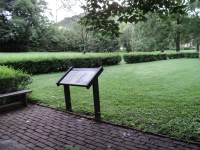
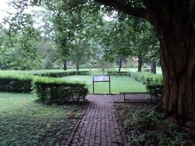
Location. 36° 9.662′ N, 82° 49.902′ W. Marker is in Greeneville, Tennessee, in Greene County. Marker can be reached from S Main Street (U.S. 321), on the left when traveling south. The marker is located behind the Andrew Johnson Homestead. Touch for map. Marker is in this post office area: Greeneville TN 37745, United States of America. Touch for directions.
Other nearby markers. At least 8 other markers are within walking distance of this marker. Preserving the Presidentís Legacy (a few steps from this marker); The Home of the 17th President (a few steps from this marker); Andrew Johnson National Historic Site (within shouting distance of this marker); Home of Andrew Johnson (within shouting distance of this marker); Andrew Johnson Homestead (within shouting distance of this marker); Valentine Sevier Home (within shouting distance of this marker); McKee Street "Flagship of Greeneville Mayoralty" (about 300 feet away, measured in a direct line); Asbury Methodist Church (about 400 feet away). Touch for a list and map of all markers in Greeneville.


