Near La Plata in Charles County, Maryland — The American Northeast (Mid-Atlantic)
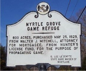
Myrtle Grove Game Refuge
800 acres, purchased May 25, 1929, from Walter J. Mitchell, Attorney for Mortgagee; from Hunter's License Fund, for the purpose of propagating game.
Erected by E. Lee Le’Compte, State Game Warden of Maryland.
Topics. This historical marker is listed in these topic lists: Horticulture & Forestry • Natural Resources. A significant historical date for this entry is May 25, 1779.
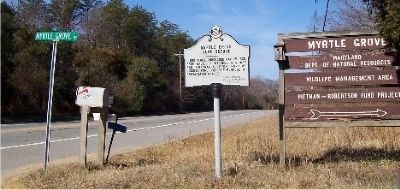
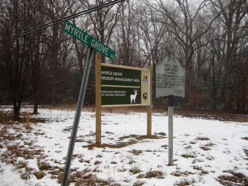
Location. 38° 32.949′ N, 77° 5.015′ W. Marker is near La Plata, Maryland, in Charles County. Marker is at the intersection of Hawthorne Road (Maryland Route 225) and Myrtle Grove Road, on the right when traveling west on Hawthorne Road. Touch for map. Marker is at or near this postal address: 5625 Myrtle Grove Road, La Plata MD 20646, United States of America. Touch for directions.
Other nearby markers. At least 8 other markers are within 3 miles of this marker, measured as the crow flies. Thomas Stone (approx. 2.4 miles away); The Stones of Maryland (approx. 2.7 miles away); Araby (approx. 2.7 miles away); a different marker also named Thomas Stone (approx. 2.8 miles away); Discover Southern Maryland’s Amazing Stories of Exploration, Hope, and Courage (approx. 2.9 miles away); Ways to Explore Southern Maryland’s Scenic and Historic Routes (approx. 2.9 miles away); Discover Thomas Stone National Historic Site (approx. 2.9 miles away); Welcome to Haberdeventure! (approx. 2.9 miles away).
Regarding Myrtle Grove Game Refuge. This 1,723-acre tract contains hardwood forests, wildlife plantings, natural and man-made wetlands and is located in the forested bottomlands of Mattawoman Creek and was once home to the Piscataway Indians.
Related markers. Click here for a list of markers that are related to this marker.
Also see . . . Myrtle Grove Wildlife Management Area. Maryland Department of Natural Resources website entry (Submitted on August 5, 2019.)
Credits. This page was last revised on January 14, 2024. It was originally submitted on March 2, 2008, by M. A. Pimentel of Waldorf, Maryland. This page has been viewed 2,162 times since then and 23 times this year. Last updated on March 3, 2008, by M. A. Pimentel of Waldorf, Maryland. Photos: 1, 2, 3. submitted on March 2, 2008, by M. A. Pimentel of Waldorf, Maryland. 4. submitted on June 19, 2019. • Kevin W. was the editor who published this page.


