Washington Rock
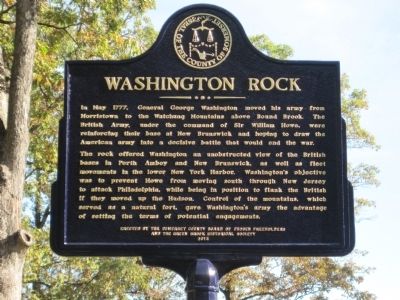
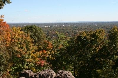
The rock offered Washington an unobstructed view of British bases in Perth Amboy and New Brunswick, as well as fleet movements in the lower New York Harbor. Washington’s objective was to prevent Howe from moving south through New Jersey to attack Philadelphia, while being in position to flank the British if they moved into the Hudson. Control of the mountains, which served as a natural fort, gave Washington’s army the advantage of setting the terms of potential engagements.
Erected 2012 by Somerset County / Green Brook Township Historical Society.
Topics. This historical marker is listed in this topic list: War, US Revolutionary. A significant historical month for this entry is May 1777.
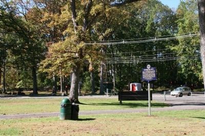
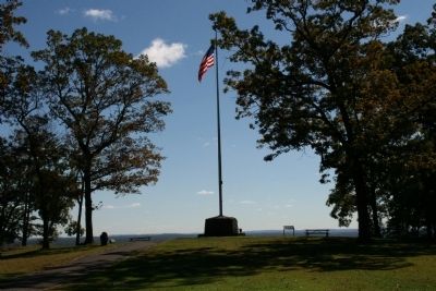
Location. 40° 36.794′ N, 74° 28.37′ W. Marker is in Green Brook, New Jersey, in Somerset County. Marker is on Rock Road East close to Washington Avenue (County Route 529), on the left when traveling west. The marker is located on the walkway to the monument approximetly 25 feet
Other nearby markers. At least 8 other markers are within 3 miles of this marker, measured as the crow flies. A different marker also named Washington Rock (within shouting distance of this marker); a different marker also named Washington Rock (within shouting distance of this marker); Site of the Blue Hills Fort and Camp (approx. 1.6 miles away); World War II 50th Anniversary Commemorative Memorial (approx. 2.1 miles away); Drake House (approx. 2.2 miles away); Drake House Flag Pole (approx. 2.2 miles away); Revolutionary War Skirmishes in the Area (approx. 2.6 miles away); Mt. Bethel Meeting House (approx. 2.8 miles away). Touch for a list and map of all markers in Green Brook.
More about this marker. Washington Rock Park is owned by the New Jersey Department of Environmental Protection and maintained by the Somerset County Park Commission.
Credits. This page was last revised on June 16, 2016. It was originally submitted on October 17, 2012, by Thomas R. D'Amico of Somerville, New Jersey. This page has been viewed 704 times since then and 80 times this year. Photos: 1, 2, 3, 4. submitted on October 17, 2012, by Thomas R. D'Amico of Somerville, New Jersey. • Bill Pfingsten was the editor who published this page.


