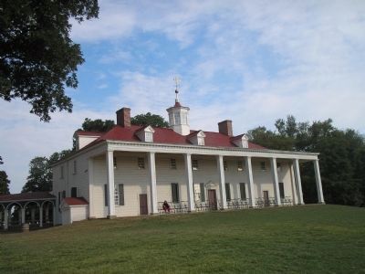
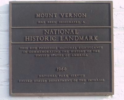
Mount Vernon in Fairfax County, Virginia — The American South (Mid-Atlantic)
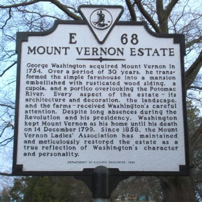
Mount Vernon Estate
Erected 1999 by Department of Historic Resources. (Marker Number E-68.)
Topics and series. This historical marker is listed in this topic list: Notable Buildings. In addition, it is included in the Former U.S. Presidents: #01 George Washington, the George Washington Slept Here, the National Historic Landmarks, the UNESCO World Heritage Sites, and the Virginia Department of Historic Resources (DHR) series lists. A significant historical date for this entry is December 14, 1799.
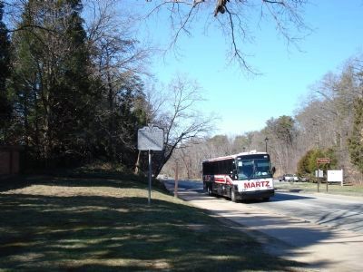
Location. 38° 42.703′ N, 77° 5.3′ W. Marker is in Mount Vernon, Virginia, in Fairfax County. Marker is at the intersection of Mount Vernon Memorial Highway (Virginia Route 235) and Mount Vernon Highway, on the right when traveling east on Mount Vernon Memorial Highway. Touch for map. Marker is in this post office area: Alexandria VA 22309, United States of America. Touch for directions.
Other nearby markers. At least 8 other markers are within walking distance of this marker. The Washington-Rochambeau Route to Victory (within shouting distance of this marker); Ona Judge (within shouting distance of this marker); Washington-Rochambeau Route (within shouting distance of this marker); Gateway to the Nation's Capital (about 300 feet away, measured in a direct line); Soil Improvements (about 500 feet away); George Washington's Mount Vernon (about 700 feet away); "The Texas Gate" (about 700 feet away); a different marker also named "The Texas Gate" (about 800 feet away). Touch for a list and map of all markers in Mount Vernon.
More about this marker. A marker with this title and number was originally erected in the late 1920s on Richmond Highway, now U.S. Route 1, 5 miles south of the Alexandria city line. The original marker read, “ Two miles to the east, the original house was built in 1743 by Lawrence Washington. George Washington came into possession in 1752. From here he set out, in April 1775, to take his seat in the Continental Congress. On December 24, 1783, he returned from the army and here died on December 14, 1799.”
Also see . . .
1. Mount Vernon. (Submitted on March 5, 2007, by Roger Dean Meyer of Yankton, South Dakota.)
2. UNESCO World Heritage Site,Tentative List: Mount Vernon. (Submitted on November 14, 2012, by Richard E. Miller of Oxon Hill, Maryland.)
Additional keywords. UNESCO World Heritage Site
Credits. This page was last revised on July 7, 2021. It was originally submitted on March 4, 2007, by Roger Dean Meyer of Yankton, South Dakota. This page has been viewed 2,225 times since then and 21 times this year. Last updated on November 14, 2012, by Richard E. Miller of Oxon Hill, Maryland. Photos: 1, 2, 3. submitted on March 5, 2007, by Roger Dean Meyer of Yankton, South Dakota. 4, 5. submitted on August 11, 2008, by Bill Coughlin of Woodland Park, New Jersey. 6. submitted on December 5, 2008, by Richard E. Miller of Oxon Hill, Maryland. • Bill Pfingsten was the editor who published this page.
