Lambertville in Hunterdon County, New Jersey — The American Northeast (Mid-Atlantic)
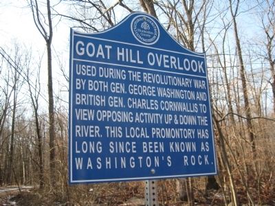
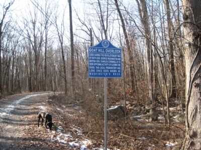
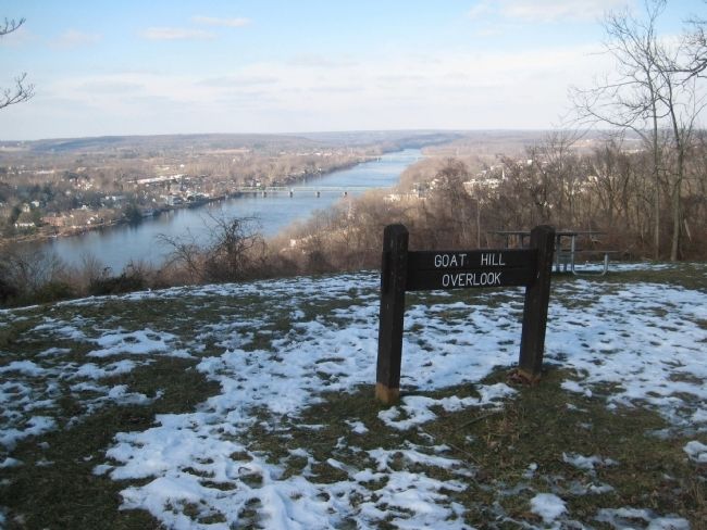
Goat Hill Overlook
Erected 2012 by Hunterdon County Cultural And Heritage Commission.
Topics and series. This historical marker is listed in this topic list: War, US Revolutionary. In addition, it is included in the New Jersey, Hunterdon County Cultural and Heritage Commission series list.
Location. 40° 21.191′ N, 74° 56.104′ W. Marker is in Lambertville, New Jersey, in Hunterdon County. Marker is on George Washington Road, on the left when traveling west. Touch for map. Marker is in this post office area: Lambertville NJ 08530, United States of America. Touch for directions.
Other nearby markers. At least 8 other markers are within one mile of this marker, measured as the crow flies. Lambertville Outlet Lock (approx. 0.6 miles away); Lambertville Railroad Shops (approx. 0.8 miles away); Delaware Canal (approx. 0.8 miles away in Pennsylvania); a different marker also named Delaware Canal (approx. 0.8 miles away in Pennsylvania); Road to Monmouth Battlefield, June 20-22, 1778 (approx. one mile away); Marshall House (approx. one mile away); D & R (approx. one mile away); Vansant House (approx. one mile away in Pennsylvania). Touch for a list and map of all markers in Lambertville.
Also see . . . Goat Hill Overlook and Washington's Rock. “The story was that Washington stood atop a promontory formation on that steep hillside where he was able to get the best possible view of the island and the Pennsylvania banks of the river. It has since been known as Washington’s Rock. Here you can see it today, showing in the background what are now the remains of Malta Island. The rock is located a mere hundred yards or so from the Goat Hill Overlook.” (Submitted on January 13, 2013, by Alan Edelson of Union Twsp., New Jersey.)
Credits. This page was last revised on June 16, 2016. It was originally submitted on January 5, 2013, by Alan Edelson of Union Twsp., New Jersey. This page has been viewed 1,294 times since then and 125 times this year. Photos: 1, 2, 3. submitted on January 5, 2013, by Alan Edelson of Union Twsp., New Jersey. • Bill Pfingsten was the editor who published this page.


