Near San Juan Bautista in San Benito County, California — The American West (Pacific Coastal)
Fremont Peak
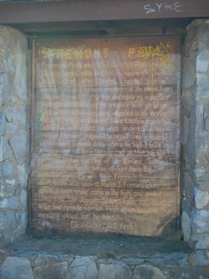
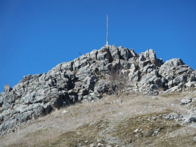
Fremont Peak was called Gavilan Peak in early Spanish times, Gavilan in English meaning Hawk. In 1846 Capt. John Charles Fremont, brevet captain of topographical engineers of the United States Army, was conducting a survey and exploring expedition in Oregon and California. His presence with an armed force in the settled area was objected to by Prefect Manuel Castro and General Jose Castro and the California authorities. He was ordered to leave. Instead Fremont prepared to resist this request. He ascended Gavilan Peak where he built a fort of logs. A sapling was cut for a flagpole and on March 6, 1846 Fremont raised the flag of the United States. Castro has his forces below at San Juan Bautista but before any attack was made, Fremont’s flagpole blew down on the afternoon of March 9. Fremont, taking this as a bad omen broke camp in the night and moved on toward the San Joaquin. So the open battle was avoided. After this episode Gavilan Peak again became the meeting place for hawks.
Elevation 3169 feet
Topics. This historical marker is listed in this topic list: Exploration. A significant historical month for this entry is March 1985.
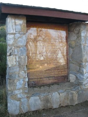
Location. 36° 45.547′ N, 121° 30.212′ W. Marker is near San Juan Bautista, California, in San Benito County. Marker is on San Juan Canyon Road (County Route G1). This marker is located in Fremont Peak State Park in the upper parking lot near the Fremont Peak trailhead. Touch for map. Marker is in this post office area: San Juan Bautista CA 95045, United States of America. Touch for directions.
Other nearby markers. At least 8 other markers are within 7 miles of this marker, measured as the crow flies. John Charles Fremont (a few steps from this marker); Fremont Peak Memorial (about 700 feet away, measured in a direct line); A Changing World (approx. 5.3 miles away); Natividad (approx. 5½ miles away); Battle of Natividad (approx. 5.6 miles away); San Juan Pacific Railway (approx. 5.8 miles away); Vineyard School (approx. 5.9 miles away); Anza House (approx. 6.1 miles away). Touch for a list and map of all markers in San Juan Bautista.
Also see . . . Fremont Peak State Park. California State Parks website entry
Before Frémont’s name was attached to the mountain, it was known as Gabilan Peak from the Spanish word for hawk. (Submitted on January 19, 2013, by Barry Swackhamer of Brentwood, California.)
Credits. This page was last revised on April 27, 2024. It was originally submitted on January 19, 2013, by Barry Swackhamer of Brentwood, California. This page has been viewed 564 times since then and 30 times this year. Photos: 1. submitted on January 19, 2013, by Barry Swackhamer of Brentwood, California. 2. submitted on January 28, 2013. 3. submitted on January 19, 2013, by Barry Swackhamer of Brentwood, California. • Syd Whittle was the editor who published this page.


