Mishawaka in St. Joseph County, Indiana — The American Midwest (Great Lakes)
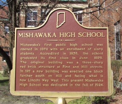
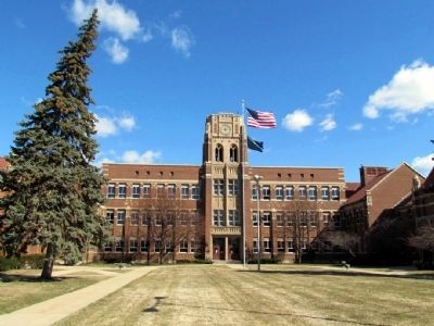
Mishawaka High School
Erected 1976. (Marker Number 71.1976.1.)
Topics and series. This historical marker is listed in this topic list: Education. In addition, it is included in the Indiana Historical Bureau Markers series list. A significant historical month for this entry is June 1878.
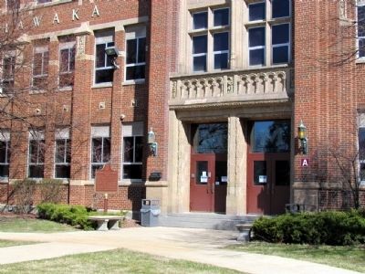
Location. 41° 39.754′ N, 86° 9.654′ W. Marker is in Mishawaka, Indiana, in St. Joseph County. Marker can be reached from the intersection of Lincoln Way East and Gernhart Ave. Marker is located next to the main entrance into the high school. Touch for map. Marker is at or near this postal address: 1202 Lincoln Way East, Mishawaka IN 46544, United States of America. Touch for directions.
Other nearby markers. At least 8 other markers are within 2 miles of this marker, measured as the crow flies. Mishawaka Fish Ladder (approx. 0.8 miles away); First Dam Across The St. Joseph River / Power Race (approx. 0.9 miles away); Dodge Manufacturing Company (approx. 0.9 miles away); The Mishawaka Academic and Normal Institute (approx. 1.1 miles away); Ball-Band Factory (approx. 1.1 miles away); Perkins Windmill (approx. 1.2 miles away); Mishawaka Civil War Soldiers Monument (approx. 1.3 miles away); Battell Park (approx. 1.4 miles away). Touch for a list and map of all markers in Mishawaka.
Credits. This page was last revised on June 16, 2016. It was originally submitted on April 2, 2013, by Duane Hall of Abilene, Texas. This page has been viewed 572 times since then and 23 times this year. Photos: 1, 2, 3. submitted on April 2, 2013, by Duane Hall of Abilene, Texas. • Bill Pfingsten was the editor who published this page.


