Ocean City in Worcester County, Maryland — The American Northeast (Mid-Atlantic)
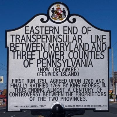
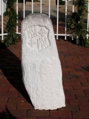
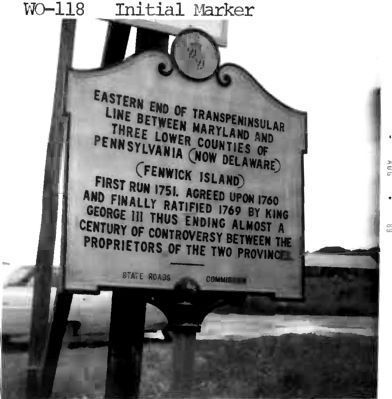
Eastern End of Transpeninsular Line Between Maryland and Three Lower Counties of Pennsylvania
(Now Delaware)
— (Fenwick Island) —
Inscription.
First run 1751, agreed upon 1760 and finally ratified 1769 by King George, III, thus ending almost a century of controversy between the proprietors of the two provinces.
Erected by Maryland Historical Trust Maryland State Highway Administration.
Topics. This historical marker is listed in this topic list: Political Subdivisions. A significant historical year for this entry is 1751.
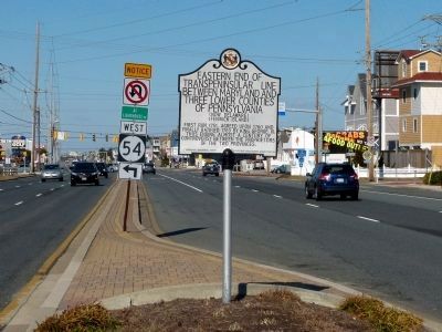
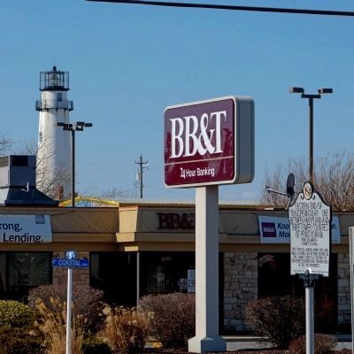
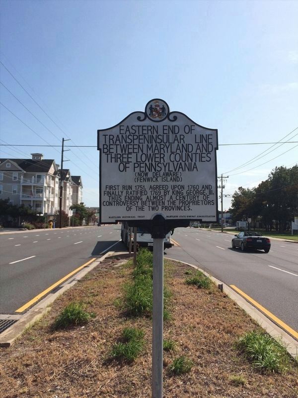
Location. 38° 27.03′ N, 75° 3.144′ W. Marker is in Ocean City, Maryland, in Worcester County. Marker is on Coastal Highway (Maryland Route 528), on the left when traveling north. The marker is in the median of the Coastal Highway (MD 528) at 145th Street, a block south of the Transpeninsular Line which runs along 146th Street. Touch for map. Marker is at or near this postal address: 14501 Coastal Hwy, Ocean City MD 21842, United States of America. Touch for directions.
Other nearby markers. At least 8 other markers are within 5 miles of this marker, measured as the crow flies. Australia (about 400 feet away, measured in a direct line in Delaware); Transpeninsular Line (about 800 feet away in Delaware); Mason and Dixon Line-Survey Start (about 800 feet away in Delaware); The Fenwick Island Lighthouse (approx. 0.2 miles away in Delaware); Sam Wilkinson (1994 - 2003) (approx. 1.2 miles away); South Bethany's Local Government Evolves Over the Years (approx. 4.9 miles away in Delaware); Key Dates and Events in the Town's History (approx. 4.9 miles away in Delaware); Life in South Bethany Through the Years (approx. 4.9 miles away in Delaware).
Also see . . . Transpeninsular Line. Wikipedia entry (Submitted on May 13, 2023, by Larry Gertner of New York, New York.)
Credits. This page was last revised on May 13, 2023. It was originally submitted on February 16, 2013, by Allen C. Browne of Silver Spring, Maryland. This page has been viewed 838 times since then and 27 times this year. Last updated on April 12, 2013, by Allen C. Browne of Silver Spring, Maryland. Photos: 1, 2, 3. submitted on February 16, 2013, by Allen C. Browne of Silver Spring, Maryland. 4. submitted on January 15, 2022, by Adam Margolis of Mission Viejo, California. 5, 6, 7. submitted on February 16, 2013, by Allen C. Browne of Silver Spring, Maryland. • Bill Pfingsten was the editor who published this page.
