Near Blairsden-Graeagle in Plumas County, California — The American West (Pacific Coastal)
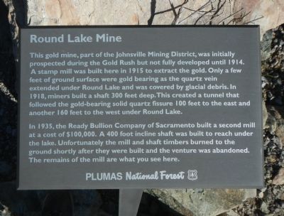
Round Lake Mine
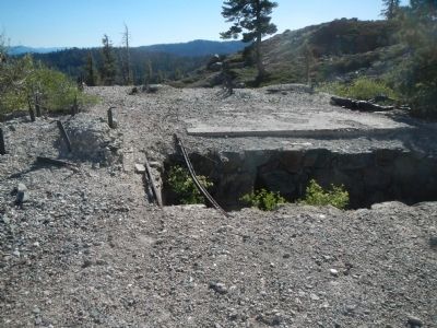
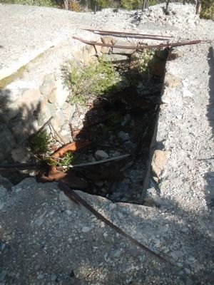
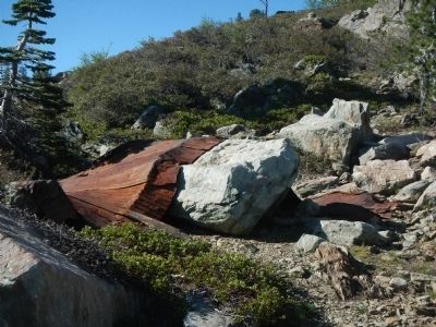
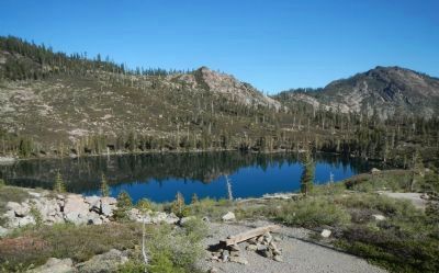
In 1935, the Ready Bullion Company of Sacramento built a second mill at a cost of $100,000. A 400 foot incline shaft was built to reach under the lake. Unfortunately the mill and shaft timbers burned to the ground shortly after they were built and the venture was abandoned. The remains of the mill are what you see here.
Erected by Plumas National Forest.
Topics. This historical marker is listed in this topic list: Industry & Commerce. A significant historical year for this entry is 1914.
Location. 39° 40.06′ N, 120° 54.228′ W. Marker is near Blairsden-Graeagle, California, in Plumas County. Marker can be reached from Gold Lake Highway, on the right when traveling south. Touch for map. Marker is at or near this postal address: 6200 Gold Lake Highway, Blairsden-Graeagle CA 96103, United States of America. Touch for directions.
Other nearby markers. At least 8 other markers are within 5 miles of this marker, measured as the crow flies. Port Wine (approx. 2½ miles away); La Porte – Quincy Wagon Road (approx. 3.9 miles away); Benjamin W. Barnes (approx. 4.3 miles away); “Quick Silver Charley” (approx. 4.3 miles away); La Porte’s Chinese Community (approx. 4.4 miles away); Reilly’s Saloon (approx. 4.4 miles away); Fuller & Buell (approx. 4.4 miles away); Frank D. Everts (approx. 4.4 miles away).
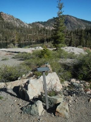
More about this marker. This marker is located at Round Lake. To access the marker park at the Round Lake traihead on the west side of Golden Lake Highway and take the trail approximately 1 3/4 miles to Round Lake. The trail is well marked.
Credits. This page was last revised on June 16, 2016. It was originally submitted on June 21, 2013, by Barry Swackhamer of Brentwood, California. This page has been viewed 705 times since then and 13 times this year. Photos: 1, 2, 3, 4, 5, 6. submitted on June 21, 2013, by Barry Swackhamer of Brentwood, California. • Syd Whittle was the editor who published this page.
