Galesville in Trempealeau County, Wisconsin — The American Midwest (Great Lakes)
Galesville Bridge
Inscription.
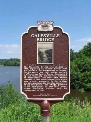
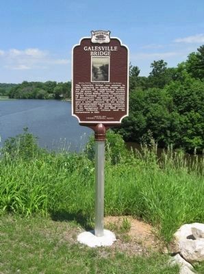
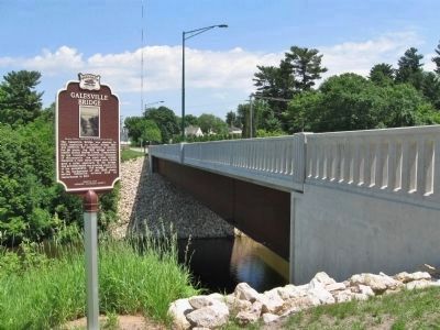
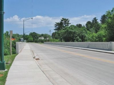
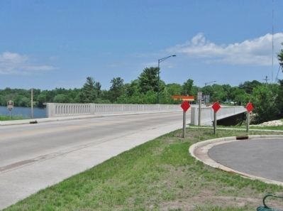
The Galesville Bridge was erected in 1925, replacing an earlier bridge that was difficult for automobiles to access. For 86 years, the 1925 bridge carried traffic across Beaver Creek. Constructed by the Guaranty Construction Company of Minneapolis, the steel arch bridge featured a rare three-hinged arch which gave a safer approach to the bridge, and accommodated the growing popularity of the automobile. The bridge, pictured in the background of this 1930 photo, served Galesville citizens until its replacement in 2011.
Erected 2012 by the Wisconsin Historical Society. (Marker Number 543.)
Topics and series. This historical marker is listed in this topic list: Bridges & Viaducts. In addition, it is included in the Wisconsin Historical Society series list. A significant historical year for this entry is 1925.
Location. 44° 5.06′ N, 91° 20.914′ W. Marker is in Galesville, Wisconsin, in Trempealeau County. Marker is on North Main Street (U.S. 53) north of Ridge Avenue, on the left when traveling north. Touch for map. Marker is in this post office area: Galesville WI 54630, United States of America. Touch for directions.
Other nearby markers. At least 8 other markers are within 7 miles of this marker, measured as the crow flies. Galesville (within shouting distance of this marker); Downtown Galesville Historic District (about 600 feet away, measured in a direct line); Ridge Avenue Historic District (approx. half a mile away); John F. Cance / Galesville Area Veterans Memorial (approx. half a mile away); Gale College Historic District (approx. one mile away); Decorah Peak (approx. 1.6 miles away); The McGilvray "Seven Bridges Road" (approx. 4.9 miles away); The Mississippi River Parkway: (approx. 6.8 miles away). Touch for a list and map of all markers in Galesville.
Also see . . .
1. Replacement begins on key bridge in Galesville. LaCrosse Tribune article. "Wisconsin’s worst bridge — and one of the worst in the nation — is being replaced... The bridge was inspected in 2007 after the collapse of the I-35W bridge in Minneapolis because of its similar design." (Submitted on June 22, 2013.)
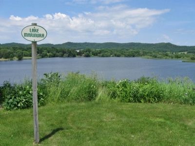
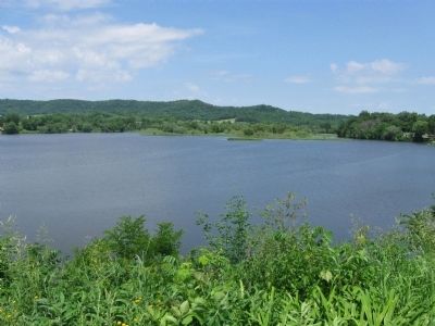
2. Galesville, Wisconsin. Wikipedia entry. "Galesville is located where Beaver Creek flows into a wide area of the Mississippi River valley. The creek is impounded to form Lake Marinuka." (Submitted on June 22, 2013.)
Credits. This page was last revised on August 5, 2022. It was originally submitted on June 22, 2013, by Keith L of Wisconsin Rapids, Wisconsin. This page has been viewed 671 times since then and 43 times this year. Photos: 1, 2, 3, 4, 5, 6, 7, 8. submitted on June 22, 2013, by Keith L of Wisconsin Rapids, Wisconsin.
