Cambria in Columbia County, Wisconsin — The American Midwest (Great Lakes)
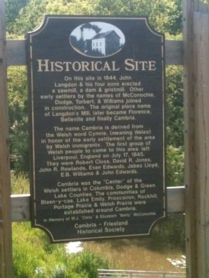
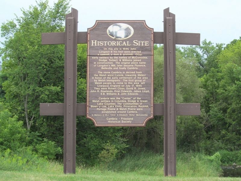
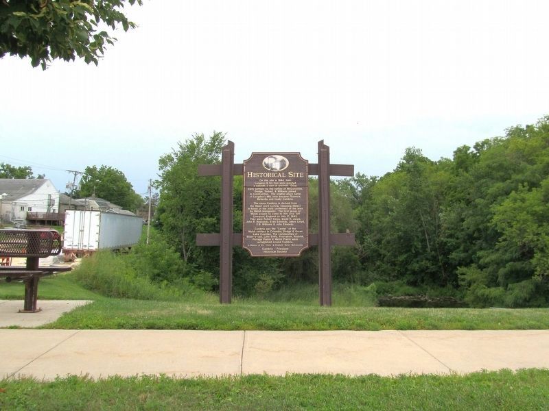
Historical Site
The name Cambria is derived from the Welsh word Cymrie (meaning Wales) in honor of early settlement of the area by Welsh immigrants. The first group of Welsh people to come to this area left Liverpool, England on July 17, 1845. They were Robert Closs, David R. Jones, John R. Rowlands, Evan Edwards, Jabes Lloyd, E.B. Williams & John Edwards.
Cambria was the "Center" of the Welsh settlers in Columbia, Dodge & Green Lake Counties. The communities of Blaen-y-cae, Lake Emily, Proscairon, Rockhill, Portage Prairie & Welsh Prairie were established around Cambria.
Erected by the Cambria - Friesland Historical Society in memory of W.J. "Chris" & Elizabeth "Betty" McConochie.
Topics. This historical marker is listed in this topic list: Settlements & Settlers. A significant historical month for this entry is July 1875.
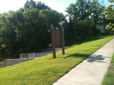
Location. 43° 32.646′ N, 89° 6.498′ W. Marker is in Cambria, Wisconsin, in Columbia County. Marker is on North Madison Street (State Highway 146) 0.1 miles north of West Edgewater Street, on the left when traveling north. Touch for map. Marker is in this post office area: Cambria WI 53923, United States of America. Touch for directions.
Other nearby markers. At least 8 other markers are within 11 miles of this marker, measured as the crow flies. David J. Jones (about 700 feet away, measured in a direct line); Inglehart Church (approx. 5.7 miles away); Samuel & Chloe Leonard Doud (approx. 9.6 miles away); Historic Pardeeville / Belmont Hotel (approx. 9.6 miles away); Angie Williams Cox Public Library (approx. 9.6 miles away); Pardeeville World War I Memorial (approx. 9.7 miles away); Wyona Park / Rifle Pit Legend (approx. 9.8 miles away); Bernard R. "Bunny" Berigan (approx. 10.1 miles away).
Credits. This page was last revised on December 21, 2022. It was originally submitted on June 28, 2013, by William J. Toman of Green Lake, Wisconsin. This page has been viewed 823 times since then and 55 times this year. Photos: 1. submitted on June 28, 2013, by William J. Toman of Green Lake, Wisconsin. 2. submitted on December 13, 2022, by Keith L of Wisconsin Rapids, Wisconsin. 3, 4. submitted on June 28, 2013, by William J. Toman of Green Lake, Wisconsin. 5. submitted on December 13, 2022, by Keith L of Wisconsin Rapids, Wisconsin.
