St. Martinville in St. Martin Parish, Louisiana — The American South (West South Central)
St. Martinville
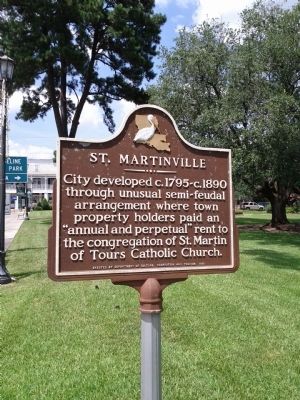
City developed c.1795 ~ c.1890 through unusual semi-feudal arrangement where town property holders paid an "annual and perpetual" rent to the congregation of St. Martin of Tours Catholic Church.
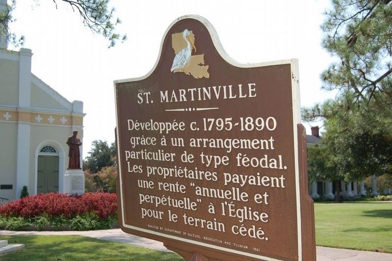
Développée c. 1795-1890 grâce à un arrangement particulier de type féodal. Les propriétaires payaient une rente "annuelle et perpétuelle" à l'Église pour le terrain cédé.
Erected 1981 by Louisiana Department of Culture, Recreation, and Tourism.
Topics. This historical marker is listed in this topic list: Settlements & Settlers. A significant historical year for this entry is 1795.
Location. 30° 7.392′ N, 91° 49.752′ W. Marker is in St. Martinville, Louisiana, in St. Martin Parish. Marker is at the intersection of Main Street (State Highway 31) on Main Street. Located on Main Street in front of the historic Saint Martin De Tours Catholic Church. Touch for map. Marker is at or near this postal address: 133 South Main Street, Saint Martinville LA 70582, United States of America. Touch for directions.
Other nearby markers. At least 8 other markers are within walking distance of this marker. Ange Marie Jan (a few steps from this marker); St. Martin Catholic Church (within shouting distance of this marker); Attakapa Indian (within shouting distance of this marker); On This Site Lie Buried Officers of The Attakapas Militia (within shouting distance of this marker); Evangeline Monument (within shouting distance of this marker); Evangeline Oak (about 700 feet away, measured in a direct line); The Old Castillo Hotel (about 700 feet away); Deportation Cross (about 700 feet away). Touch for a list and map of all markers in St. Martinville.
Credits. This page was last revised on July 4, 2018. It was originally submitted on June 28, 2013, by Mike Waldon of Lafayette, Louisiana. This page has been viewed 678 times since then and 67 times this year. Photos: 1. submitted on June 28, 2013, by Mike Waldon of Lafayette, Louisiana. 2. submitted on July 3, 2018, by Cajun Scrambler of Assumption, Louisiana. • Bill Pfingsten was the editor who published this page.

