Near Fallon in Churchill County, Nevada — The American Mountains (Southwest)
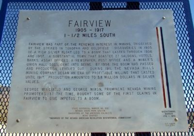
Fairview
1905 - 1917
— 1-1/2 Miles South —
George Wingfield and George Nixon, prominent Nevada mining promoters at the time, bought some of the first claims in Fairview to give impetus to a boom.
Erected by Nevada State Park System and Daughters of the American Colonists, Reno Chapter. (Marker Number 202.)
Topics and series. This historical marker is listed in these topic lists: Industry & Commerce • Settlements & Settlers. In addition, it is included in the Daughters of the American Colonists series list. A significant historical year for this entry is 1905.
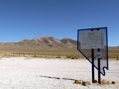
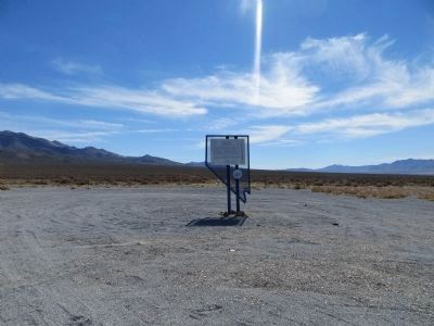
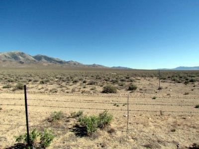
Location. 39° 16.993′ N, 118° 12.896′ W. Marker is near Fallon, Nevada, in Churchill County. Marker is on U.S. 50, 5 miles east of Nevada Route 839, on the right when traveling east. Touch for map. Marker is in this post office area: Fallon NV 89406, United States of America. Touch for directions.
Other nearby markers. At least 8 other markers are within 11 miles of this marker, measured as the crow flies. Fairview Peak Earthquake Faults (approx. 4˝ miles away); Measuring Earthquakes (approx. 6.2 miles away); Central Overland Trail - Westgate Station (approx. 8.7 miles away); Middlegate Station (approx. 10.1 miles away); Sand Mountain (approx. 10.6 miles away); What Are Those Rocks Out There? (approx. 10.8 miles away); Swift Steeds Tie East to West (approx. 10.8 miles away); Sand Mountain Pony Express Station (approx. 10.9 miles away). Touch for a list and map of all markers in Fallon.
More about this marker. Marker is a Bicentennial Marker 1776-1976, "Endorsed by the Nevada American Revolution Bicentennial Commission."
Also see . . . New Amended Text for Marker. The Nevada State Historic Preservation Office (SHPO) recently updated the text of the roughly 260 state historical markers in Nevada. The Nevada SHPO placed the amended text of the markers on its website for each individual marker and will change the actual markers in the field as funding allows. Minor changes have been made to the marker for grammar and readability. The link will take you to the Nevada SHPO page for the marker with the amended text. (Submitted on October 24, 2013, by Duane Hall of Abilene, Texas.)
Credits. This page was last revised on June 16, 2016. It was originally submitted on July 30, 2013, by Duane Hall of Abilene, Texas. This page has been viewed 790 times since then and 43 times this year. Photos: 1, 2. submitted on July 30, 2013, by Duane Hall of Abilene, Texas. 3. submitted on October 23, 2013, by Bill Kirchner of Tucson, Arizona. 4. submitted on July 30, 2013, by Duane Hall of Abilene, Texas.


