Near Allen in Wicomico County, Maryland — The American Northeast (Mid-Atlantic)
Friendship United Methodist Church and Allen African American School
Inscription.
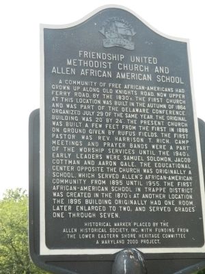
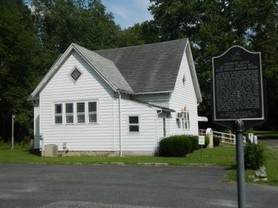
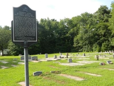
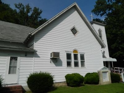
A community of free African-Americans had grown up along Old Knight's Road, now Upper Ferry Road, by the 1830's. The first church at this location was built in the autumn of 1864 and was part of the Delaware Conference, organized July 29 of the same year. The original building was 20' by 24'. The present church was built a few feet from the first in 1888 on ground given by Rufus Fields. The first pastor was Rev. Harrison T. Rich. Camp meetings and prayer bands were a part of the worship services until the 1940's. Early leaders were Samuel Solomon, Jacob Cottman and Aaron Gale. The educational center opposite the church was originally a school, which served Allen's African-American community from 1895 until 1955. The first African-American school in Trappe District was created in the 1870's at another location. The 1895 building originally had one room, later enlarged to two, and served grades one through seven.
Erected 2000 by Allen Historical Society, Inc. with funding from the Lower Eastern Shore Heritage Committee - A Maryland 2000 Project.
Topics. This historical marker is listed in these topic lists: African Americans • Churches & Religion • Education • Settlements & Settlers. A significant historical date for this entry is July 29, 1607.
Location. 38° 17.95′ N, 75° 41.467′ W. Marker is near Allen, Maryland, in Wicomico County. Marker is at the intersection of S. Upper Ferry Road and Post Office Road on S. Upper Ferry Road. Touch for map. Marker is in this post office area: Allen MD 21810, United States of America. Touch for directions.
Other nearby markers. At least 8 other markers are within 5 miles of this marker, measured as the crow flies. Asbury United Methodist Church (approx. 0.6 miles away); Old Green Hill Church (approx. 4 miles away); A Water Connection (approx. 4 miles away); Wicomico Wetlands (approx. 4.1 miles away); The Original Residents (approx. 4.1 miles away); An Apple a Day (approx. 4.1 miles away); Nature's Pasture (approx. 4.1 miles away); A Drop to Drink (approx. 4.2 miles away).
Credits. This page was last revised on June 16, 2016. It was originally submitted on July 30, 2013, by Nathan Davidson of Salisbury, Maryland. This page has been viewed 597 times since then and 36 times this year. Photos: 1, 2, 3, 4. submitted on July 30, 2013, by Nathan Davidson of Salisbury, Maryland. • Bill Pfingsten was the editor who published this page.


