Liberty in Clay County, Missouri — The American Midwest (Upper Plains)
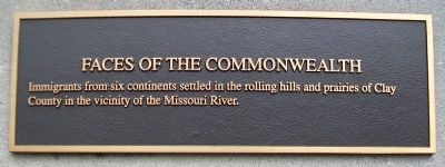
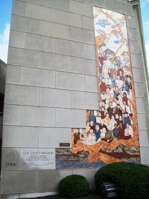
Faces of the Commonwealth
Immigrants from six continents settled in the rolling hills and prairies of Clay County in the vicinity of the Missouri River.
Topics. This historical marker is listed in this topic list: Settlements & Settlers.
Location. 39° 14.742′ N, 94° 25.172′ W. Marker is in Liberty, Missouri, in Clay County. Marker is on Water Street north of Mill Street, on the left when traveling north. Marker is on the east wall of the William S. Brandom Law Enforcement Center. Touch for map. Marker is in this post office area: Liberty MO 64068, United States of America. Touch for directions.
Other nearby markers. At least 8 other markers are within walking distance of this marker. Passing Pleasures, Tourist Treasures (here, next to this marker); Suburban Archways (a few steps from this marker); Sacred Waters (a few steps from this marker); Intelligencia (a few steps from this marker); War Memorial (within shouting distance of this marker); Veterans Memorial (within shouting distance of this marker); 17 East Kansas Street (within shouting distance of this marker); Scales and Rails (within shouting distance of this marker). Touch for a list and map of all markers in Liberty.
Also see . . .
1. Clay County, Missouri, Official Website. (Submitted on September 3, 2013, by William Fischer, Jr. of Scranton, Pennsylvania.)
2. Clay County Archives and Historical Library MO. (Submitted on September 3, 2013, by William Fischer, Jr. of Scranton, Pennsylvania.)
Credits. This page was last revised on June 16, 2016. It was originally submitted on September 3, 2013, by William Fischer, Jr. of Scranton, Pennsylvania. This page has been viewed 417 times since then and 21 times this year. Photos: 1, 2. submitted on September 3, 2013, by William Fischer, Jr. of Scranton, Pennsylvania.

