Springfield in Robertson County, Tennessee — The American South (East South Central)
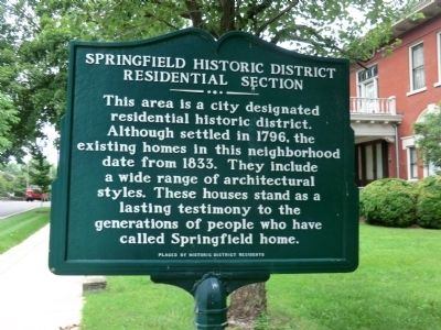
Springfield Historic District
Residential Section
Inscription.
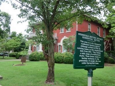
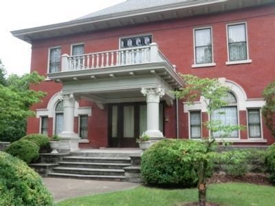
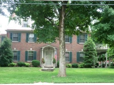
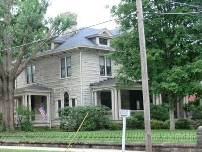
This area is a city designated residential historic district. Although settled in 1796, the existing homes in this neighborhood date from 1833. They include a wide range of architectural styles. These homes stand as a lasting testimony to the generations of people who have called Springfield home.
Erected by Historic District Residents.
Topics. This historical marker is listed in this topic list: Settlements & Settlers. A significant historical year for this entry is 1796.
Location. 36° 30.585′ N, 86° 53.278′ W. Marker is in Springfield, Tennessee, in Robertson County. Marker is on West 5th Avenue (Tennessee Route 49) west of North Oak Street, on the right when traveling west. Touch for map. Marker is in this post office area: Springfield TN 37172, United States of America. Touch for directions.
Other nearby markers. At least 8 other markers are within walking distance of this marker. First United Presbyterian Church (about 500 feet away, measured in a direct line); An Army In Springfield (about 700 feet away); Fallen Confederate Soldiers (about 700 feet away); Robertson County Courthouse (about 800 feet away); Robertson County Korean War Memorial (about 800 feet away); Robertson County Vietnam Memorial (approx. 0.2 miles away); a different marker also named Robertson County Courthouse (approx. 0.2 miles away); Robertson County World War II Memorial (approx. 0.2 miles away). Touch for a list and map of all markers in Springfield.
Credits. This page was last revised on June 16, 2016. It was originally submitted on September 12, 2013, by Don Morfe of Baltimore, Maryland. This page has been viewed 589 times since then and 23 times this year. Photos: 1, 2, 3, 4, 5. submitted on September 12, 2013, by Don Morfe of Baltimore, Maryland. • Bernard Fisher was the editor who published this page.
