Holbrook in Navajo County, Arizona — The American Mountains (Southwest)
Agate Bridge
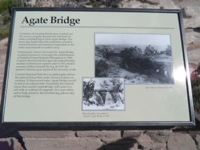
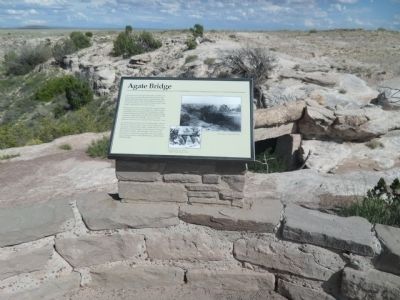
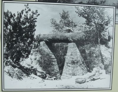
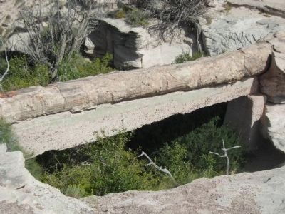
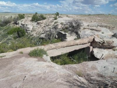
Enthusiastic visitors fascinated by Agate Bridge worked to preserve it through the establishment of Petrified Forest National Monument in 1906. Conservationists felt this ages old natural bridge needed architectural support and in 1911 erected masonry pillars beneath the log. In 1917 the present concrete span replaced the masonry work.
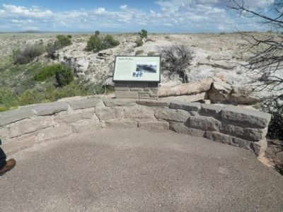
Current National Park Service philosophy allows the natural forces the create unusual feature to be left in its natural state. Eventually the natural forces that created Agate Bridge will cause it to fall with or without its supports. For your safety, and to help preserve the petrified log, please stay off the bridge.
Caption: Masonry pillars were added to “support” Agate Bridge in 1911.
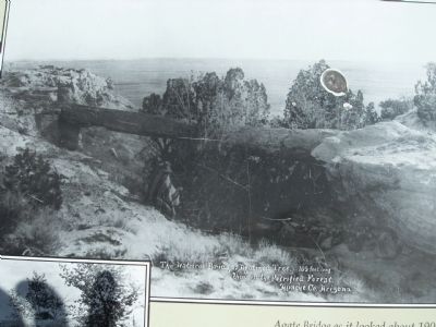
Caption: Agate Bridge as it looked about 1900.
Erected by Petrified National Forest Services.
Topics. This historical marker is listed in this topic list: Paleontology. A significant historical year for this entry is 1906.
Location. 34° 53.559′ N, 109° 47.639′ W. Marker is in Holbrook, Arizona, in Navajo County. Marker is on Petrified Forest Road, on the right when traveling north. Touch for map. Marker is at or near this postal address: Petrified Forest Road, Holbrook AZ 86025, United States of America. Touch for directions.
Other nearby markers. At least 8 other markers are within 6 miles of this marker, measured as the crow flies. Jasper Forest (approx. 0.8 miles away); From Wood to Stone (approx. 2 miles away); Triassic Landscape (approx. 2 miles away); Pioneers of Paleontology (approx. 3.7 miles away); Newspaper Rock Petroglyphs Archeological District (approx. 4.8 miles away); Newspaper Rock (approx. 4.8 miles away); Summer Solstice Marker (approx. 5.7 miles away); Whispers from the Past (approx. 5.7 miles away). Touch for a list and map of all markers in Holbrook.
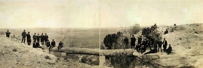
Photographed By Haines Photo Company, circa 1908
8. Agate Bridge
Photo courtesy of the Library of Congress. Note the copyright date indicated for the photo is February 5, 1908, which is odd in that masonry supports are plainly visible, some three years before their installation date as provided on the marker.
Credits. This page was last revised on July 26, 2018. It was originally submitted on September 28, 2013, by Denise Boose of Tehachapi, California. This page has been viewed 670 times since then and 50 times this year. Photos: 1, 2, 3, 4, 5, 6, 7. submitted on September 28, 2013, by Denise Boose of Tehachapi, California. 8. submitted on September 30, 2013. • Andrew Ruppenstein was the editor who published this page.
