Near Eureka in Eureka County, Nevada — The American Mountains (Southwest)
The Eureka Mining District
Producing Ore Since 1864
Agricola, De Re Metallica, 1556
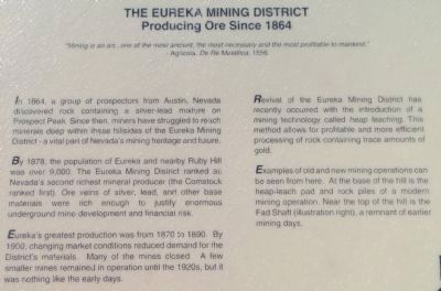
In 1864, a group of prospectors from Austin, Nevada discovered rock containing a silver-lead mixture on Prospect Peak. Since then, miners have struggled to reach minerals deep within these hillsides of the Eureka Mining District - a vital part of Nevada's mining heritage and future.
By 1878, the population of Eureka and nearby Ruby Hill was over 9,000. The Eureka Mining District ranked as Nevada's second richest mineral producer (the Comstock ranked first). Ore veins of silver, lead, and other base materials were rich enough to justify enormous underground mine development and financial risk.
Eureka's greatest production was from 1870 to 1890. By 1900, changing market conditions reduced demand for the District's materials. Many of the mines closed. A few smaller mines remained in operation until the 1920s, but it was nothing like the early days.
Revival of the Eureka Mining District has recently occurred with the introduction of a mining technology called heap leaching. This method allows for profitable and more efficient processing of rock containing trace amounts of gold.
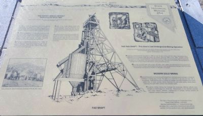
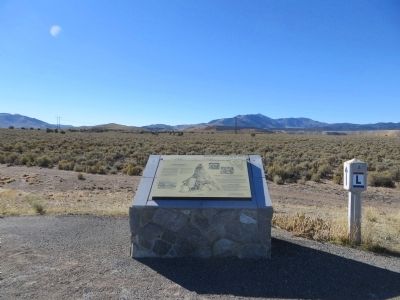
Examples of old and new mining operations can be seen from here. At the base of the hill is the heap-leach pad and rock piles of a modern mining operation. Near the top of the hill is the Fad Shaft (illustration right), a remnant of earlier mining days.
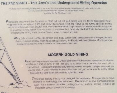
The Fad Shaft - This Area's Last Underground Mining Operation
Prospectors discovered the Fad claim in 1906 but did not start mining until the 1940s. Geological theory suggested that ore existed 2,500 feet below the surface. From the 1940s to the 1960s, sporadic mining occurred at the shaft. Then at 2,465 feet, only 35 feet from their target, they encountered water. Flooding was so great that mining halted. The Fad closed a short time later. Ironically, the Fad Shaft, the last attempt at underground mining in the Eureka District, never produced any ore.
Many hills around Eureka still contain rock piles, open shafts, and abandoned mining equipment. During Eureka's heyday, many headframes similar to the Fad dotted these hillsides. Most have since disappeared, leaving only a handful as reminders of the past.
Throughout history mining has changed the landscape. Mining's effects have changed as technology has advanced. Reclamation is now standard practice upon mine closure. Whether underground or surface, mining remains an important symbol of Nevada's heritage.
Erected by Homestake Mining Company; Nevada Department of Transportation; Nevada State Historic Preservation Office; United States Bureau of Land Management. (Marker Number 254.)
Topics. This historical marker is listed in this topic list: Natural Resources. A significant historical year for this entry is 1556.
Location. 39° 33.318′ N, 115° 59.746′ W. Marker is near Eureka, Nevada, in Eureka County. Marker is at the intersection of U.S. 50 at milepost 33.3 and Nevada Route 278, on the right when traveling east on U.S. 50. Touch for map. Marker is in this post office area: Eureka NV 89316, United States of America. Touch for directions.
Other nearby markers. At least 8 other markers are within 4 miles of this marker, measured as the crow flies. Charcoal Burners Massacred Aug. 18, 1879 (approx. 3.4 miles away); Eureka Sentinel Building (approx. 3˝ miles away); Eureka Sentinel Newspaper (approx. 3˝ miles away); Bartine Outhouse (approx. 3˝ miles away); Eureka Courthouse (approx. 3˝ miles away); Eureka & Palisade RR (approx. 3˝ miles away); Eureka Opera House (approx. 3˝ miles away); Tannehill Cabin (approx. 4.1 miles away). Touch for a list and map of all markers in Eureka.
Credits. This page was last revised on June 16, 2016. It was originally submitted on October 22, 2013, by Bill Kirchner of Tucson, Arizona. This page has been viewed 498 times since then and 19 times this year. Photos: 1, 2, 3, 4. submitted on October 22, 2013, by Bill Kirchner of Tucson, Arizona. • Syd Whittle was the editor who published this page.


