Danville in Boyle County, Kentucky — The American South (East South Central)
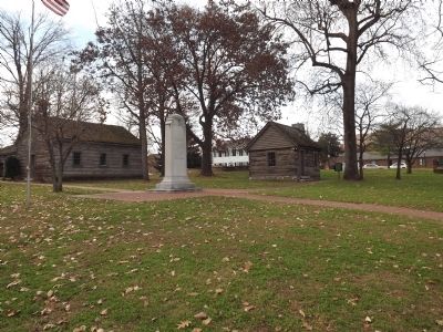
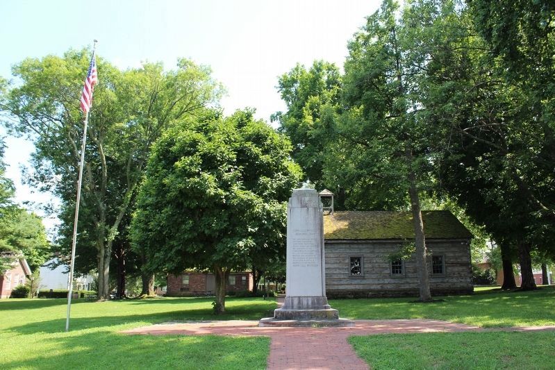
John Gill Weisiger Memorial Park
John Gill Weisiger Memorial Park
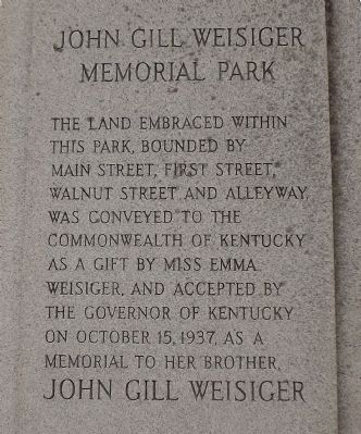
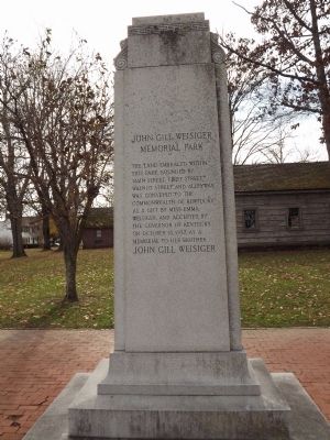
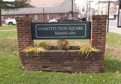
The land embraced within this park, bounded by Main Street, First Street, Walnut Street and alleyway, was conveyed to the commonwealth of Kentucky as a gift by Miss Emma Weisiger, and accepted by the Governor of Kentucky on October 15, 1937, as a memorial to her brother, John Gill Weisiger
Reverse
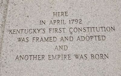
Here in April 1792 Kentucky's First Constitution was framed and adopted and another Empire was born
Erected 1937 by Miss Emma Weisiger.
Topics. This historical marker is listed in this topic list: Settlements & Settlers. A significant historical month for this entry is April 1792.
Location. 37° 38.727′ N, 84° 46.212′ W. Marker is in Danville, Kentucky, in Boyle County. Marker is on Main Street (Kentucky Route 34, 52) east of Second Street, on the left when traveling west. Touch for map. Marker is at or near this postal address: 138 West Main Street, Danville KY 40422, United States of America. Touch for directions.
Other nearby markers. At least 8 other markers are within walking distance of this marker. First Post Office (a few steps from this marker); Post Office (a few steps from this marker); Lewis and Clark in Kentucky - Danville (a few steps from this marker); Meeting House (a few steps from this marker); Fisher’s Row (within shouting distance of this marker); Isaac Shelby (within shouting distance of this marker); Watts-Bell House (within shouting distance of this marker); Jail (within shouting distance of this marker). Touch for a list and map of all markers in Danville.
Credits. This page was last revised on August 14, 2018. It was originally submitted on January 19, 2014, by Ken Smith of Milan, Tennessee. This page has been viewed 660 times since then and 20 times this year. Photos: 1, 2, 3, 4. submitted on January 19, 2014, by Ken Smith of Milan, Tennessee. 5. submitted on August 14, 2018, by Tom Bosse of Jefferson City, Tennessee. 6. submitted on January 19, 2014, by Ken Smith of Milan, Tennessee. • Bill Pfingsten was the editor who published this page.
