Santa Rita in Grant County, New Mexico — The American Mountains (Southwest)
Santa Rita Copper Mine
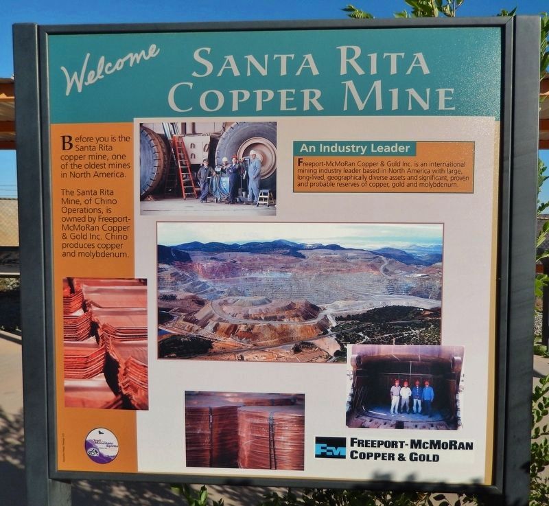
The Santa Rita Mine, of Chino Operations, is owned by Freeport-McMoran Copper and Gold Inc. Chino produces copper and molybdenum.
An Industry Leader-Freeport-McMoran Copper & Gold Inc. is an international mining industry leader based in North America with large, long-lived, geographically diverse assets and significant, proven and probable reserves of copper, gold and molybdenum.
Topics. This historical marker is listed in this topic list: Industry & Commerce.
Location. 32° 48.408′ N, 108° 4.395′ W. Marker is in Santa Rita, New Mexico, in Grant County. Marker is on State Road 152, on the right when traveling east. Touch for map. Marker is in this post office area: Hanover NM 88041, United States of America. Touch for directions.
Other nearby markers. At least 8 other markers are within 3 miles of this marker, measured as the crow flies. The Companies & People (here, next to this marker); Open Pit Mining (here, next to this marker); Modern Mining & Processing (here, next to this marker); The Early Mining Years (here, next to this marker); Reclaiming the Land (here, next to this marker); The Discovery (here, next to this marker); Kneeling Nun (approx. 2.8 miles away); Ladies Auxiliary of Local 890 (approx. 2.8 miles away). Touch for a list and map of all markers in Santa Rita.
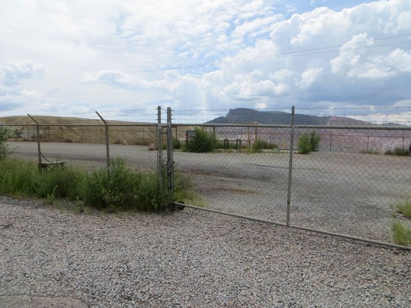
More about this marker. Marker is in mine observation point.
Related markers. Click here for a list of markers that are related to this marker. Santa Rita Copper Mine
Photographed By Don Morfe, September 9, 2008
3. Santa Rita Copper Mine
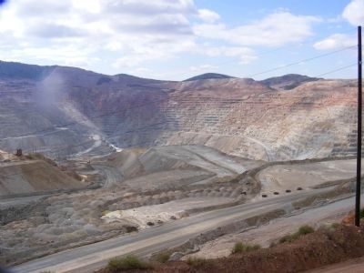
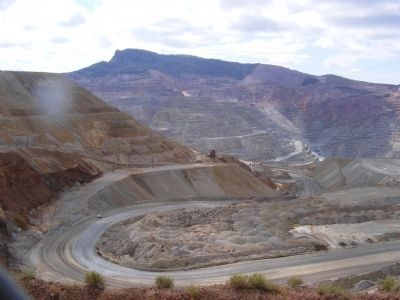
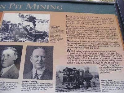
Open Pit Mining-It took steam, coal, and iron to bring success to Santa Rita. When the railroad arrived in 1898, it opened a new era for mining. A successful copper mine needed to move tonnage—lots of tonnage. With the railroad in place, Santa Rita was waiting to be discovered.
In 1905, a young M.I.T. graduate named John M. Sully, determined that many small underground mines here were sitting atop an enormous copper ore body of great potential. His systematic and skillful examination of the ore body was followed by his commitment to find funding to develop this great mine. Sully’s success earned him recognition as one of the great engineers of the period.
Another contributor to the success of this mine was a young engineer named Daniel C. Jackling. His new method of open-pit mining of large, low-grade copper ore, earned him recognition across the globe.
With funding in place and engineering complete, progress was rapid. The Chino Copper Company was formed and the first steam-shovel began open-pit mining in September 1910. In addition, a processing plant was built in 1911 in the nearby community of Hurley. In time, Santa Rita Mine became known as one of the four “Jackling properties” where the techniques of open-pit mining were perfected.
Credits. This page was last revised on October 15, 2020. It was originally submitted on January 30, 2014, by Don Morfe of Baltimore, Maryland. This page has been viewed 1,018 times since then and 61 times this year. Photos: 1. submitted on October 15, 2020, by Cosmos Mariner of Cape Canaveral, Florida. 2, 3, 4, 5. submitted on January 30, 2014, by Don Morfe of Baltimore, Maryland. 6. submitted on October 15, 2020, by Cosmos Mariner of Cape Canaveral, Florida. 7. submitted on August 15, 2018, by Bill Kirchner of Tucson, Arizona. • Bill Pfingsten was the editor who published this page.
