Bradenton in Manatee County, Florida — The American South (South Atlantic)
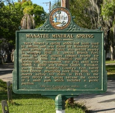
Manatee Mineral Spring
Erected 1965 by Florida Board of Parks and Historic Memorials in cooperation with Manatee County Historical Society. (Marker Number F-126.)
Topics. This historical marker is listed in this topic list: Settlements & Settlers. A significant historical month for this entry is January 1842.
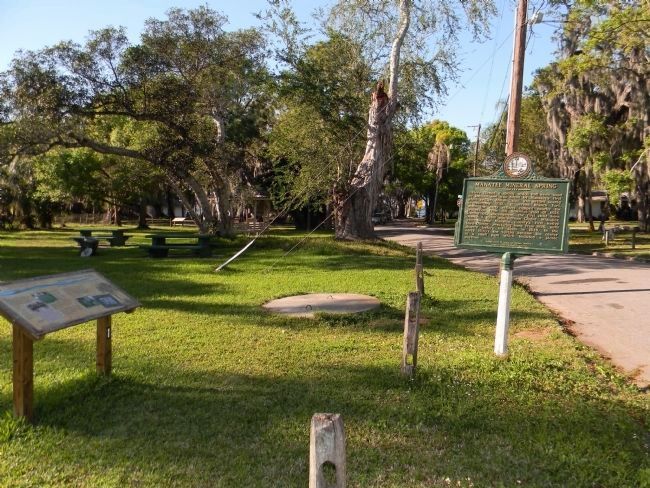
Location. 27° 29.876′ N, 82° 32.959′ W. Marker is in Bradenton, Florida, in Manatee County. Marker is at the intersection of 14th Street East and 2nd Avenue East on 14th Street East. Touch for map. Marker is at or near this postal address: 1312 14th Street East, Bradenton FL 34208, United States of America. Touch for directions.
Other nearby markers. At least 8 other markers are within walking distance of this marker. First Settler's Homesite (about 600 feet away, measured in a direct line); Theodosia Curry Lloyd House (about 600 feet away); The Civil War (about 600 feet away); Curry Houses National Register Historic District / Refuge of Peace (about 700 feet away); Curry Family (about 700 feet away); Curry House Circa 1860 (about 700 feet away); Mary Amelia Curry House (about 700 feet away); First Manatee Courthouse / Manatee Methodist Church (about 700 feet away). Touch for a list and map of all markers in Bradenton.
Also see . . . Manatee Mineral Springs Park - City of Bradenton. (Submitted on March 22, 2014, by PaulwC3 of Northern, Virginia.)

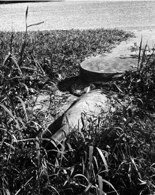
Manatee County Public Library Historical Image Digital Collection, November 1964
4. Remains of old Manatee Mineral Spring.
Pipes are all that is seen of the formerly free-flowing Manatee Mineral Spring that greeted the earliest settlers to the Manatee settlement. The modern site of the spring is near the sugar cane field and small park on 14th Street East.
Credits. This page was last revised on May 5, 2021. It was originally submitted on March 19, 2014, by PaulwC3 of Northern, Virginia. This page has been viewed 864 times since then and 52 times this year. Photos: 1. submitted on March 21, 2019, by Tim Fillmon of Webster, Florida. 2, 3, 4. submitted on March 22, 2014, by PaulwC3 of Northern, Virginia.


