Near Hulett in Crook County, Wyoming — The American West (Mountains)
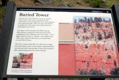
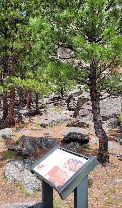
Buried Tower
Devils Tower National Monument
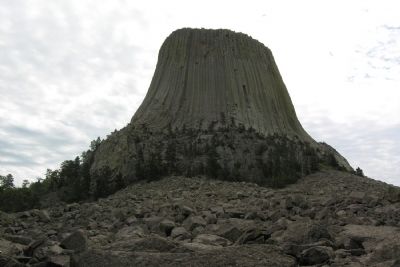
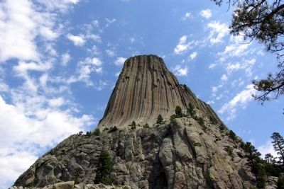
The Tower is still emerging. The Belle Fourche River (below) continues to wash away the softer sedimentary rocks. Plateaus across the valley—some higher than the Tower’s summit—are eroded layers of the same sediment that once surrounded and covered Devils Tower.
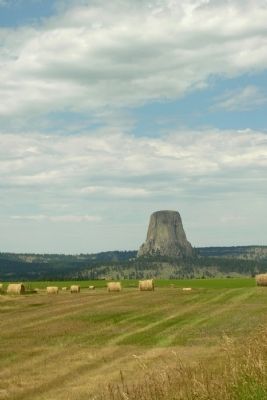
The Tower today stands 867 feet (264 meters) high, from the visitor center to the summit. Approximately one and one-half vertical miles of rock and sediment have washed away since the Tower formed.
(Left Photo Caption)
Photograph of modern river channel, with sedimentary rocks in background
(Right Photo Caption)
Layers of sedimentary rock are exposed on a cliff near the Tower
Erected by National Park Service.
Topics. This historical marker is listed in this topic list: Notable Places.
Location. 44° 35.372′ N, 104° 43.069′ W. Marker is near Hulett, Wyoming, in Crook County. Marker can be reached from State Highway 110. Marker is located in Devils Tower National Monument; drive to the end of State Route 110 to the parking lot of the Devils Tower Visitor Center. Touch for map. Marker is in this post office area: Hulett WY 82720, United States of America. Touch for directions.
Other nearby markers. At least 8 other markers are within walking distance of this marker. People of the Land (within shouting distance of this marker); Bountiful Land (about 300 feet away, measured in a direct line); How Did the Tower Form? (about 300 feet away); Friends, Family, and Fun (about 500 feet away); Devils Tower ... the first National Monument (about 500 feet away); Reach for the Top (approx. 0.2 miles away); Many Meanings for Many People (approx. 0.2 miles away); Daredevil Stunt (approx. 0.2 miles away). Touch for a list and map of all markers in Hulett.
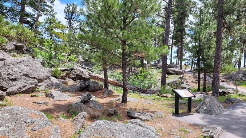
More about this marker. Marker is along the southwest segment of the Tower Trail which circles Devils Tower. It is a 1/4 mile walk from the Visitor Center parking lot to the marker.
Also see . . . Devils Tower National Monument. Official National Park Service website. (Submitted on March 25, 2014.)
Credits. This page was last revised on July 22, 2022. It was originally submitted on March 25, 2014, by Duane Hall of Abilene, Texas. This page has been viewed 573 times since then and 23 times this year. Photos: 1. submitted on March 25, 2014, by Duane Hall of Abilene, Texas. 2, 3. submitted on July 22, 2022, by James Hulse of Medina, Texas. 4, 5, 6. submitted on March 25, 2014, by Duane Hall of Abilene, Texas.
