Three Rivers in St. Joseph County, Michigan — The American Midwest (Great Lakes)
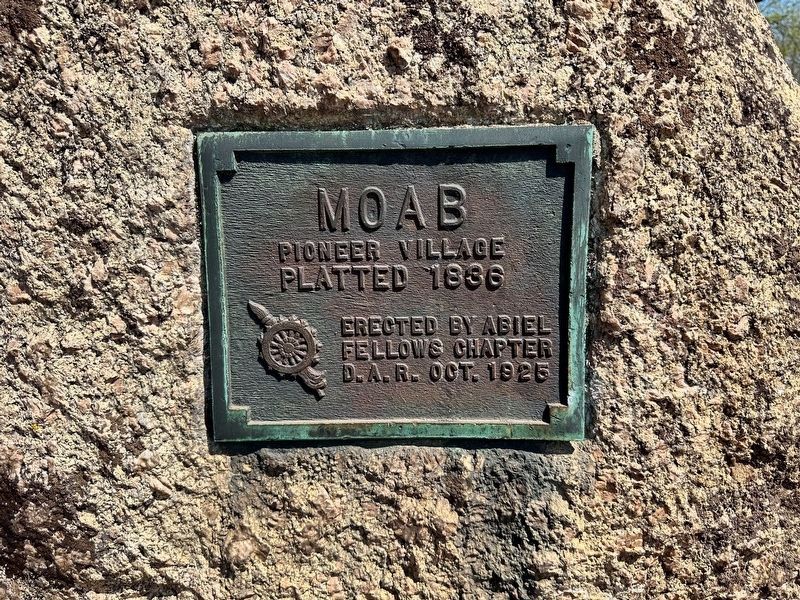
Moab
Platted 1836
Erected 1925 by Abiel Fellow Chapter, Daughters of the American Revolution.
Topics and series. This historical marker is listed in this topic list: Settlements & Settlers. In addition, it is included in the Daughters of the American Revolution series list. A significant historical year for this entry is 1836.
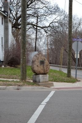
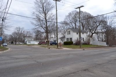
Location. 41° 55.97′ N, 85° 38.258′ W. Marker is in Three Rivers, Michigan, in St. Joseph County. Marker is at the intersection of Constantine Street and W. Broadway Street, on the right when traveling north on Constantine Street. Marker is located at the northeast corner of the intersection. Touch for map. Marker is in this post office area: Three Rivers MI 49093, United States of America. Touch for directions.
Other nearby markers. At least 8 other markers are within walking distance of this marker. French Trading Post (approx. 0.6 miles away); Site of Legendary Battle (approx. 0.7 miles away); Three Rivers Town Cannon (approx. 0.7 miles away); Three Rivers Elks #1248 (approx. 0.7 miles away); The First Grist Mill in Three Rivers (approx. 0.7 miles away); The Meneely Bell (approx. 0.7 miles away); Three Rivers (approx. ¾ mile away); Sue Silliman House (approx. 0.8 miles away). Touch for a list and map of all markers in Three Rivers.
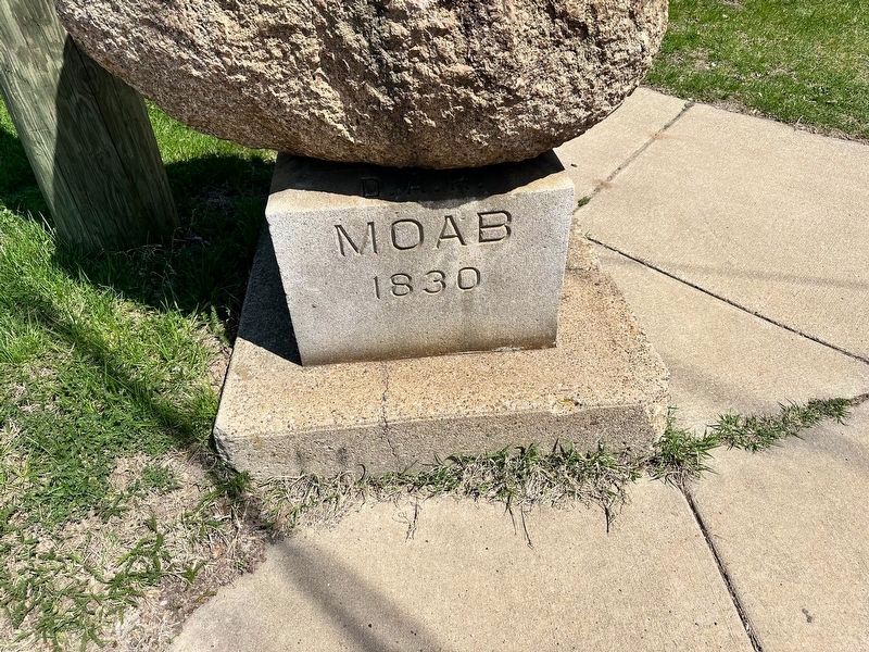
More about this marker . On the concrete pedestal is etched "Moab 1830".
Regarding Moab. From the article "Paper Villages of St. Joseph County" by Sue I. Silliman, State Historian D.A.R.:
“Moab’s first settlement was made in 1827. It was platted July 28, 1830, by Christopher Shinnaman, with Neal McGaffy Justice of the Peace and J.W. Anderson Register of Deeds. The description was a surprise:–S. ½ of N.W. ¼ of Sec. 19, T. 6 S. R. 11 W., just north of the old Jacob Neidhart property, and includes at least a portion of the present King addition. The lots were to be 66 ft. wide, 157 deep. Water street was to run in a “northeasterly” direction along the river; Kalamazoo St. Was to run north and south, quite probably the present Constantine Street. Spring St. was to parallel Kalamazoo. Main St. was to run east and west and was to be 66 ft. wide. Of the proprietor we have found no other record than in the transfer of land titles. Concerning this paper village, so near home, we find it included 138 and a fraction acres, was deeded to Christopher Shinnaman May 21, 1830, by Abraham and Molly Brechart, the said Molly making avadavit that her husband did not compel her to sign. The deed was registered by Jno. Anderson, R. of D. The same day this worthy couple deeded 83 acres adjoining Moab to Jacob Shinnaman for $132.50. Moab’s 138 acres were sold to Christopher Shinnaman for $217.50.”
Source: Michigan History Magazine, Volume IV, October-December 1920: 591-592. Print.
In 1871 the city of Three Rivers extended its corporate limits to include Moab as part of the 3rd Ward.
Source: Lockport Township, Michigan website, http://www.lockporttwp.com/?page_id=117, accessed April 14, 2014.
Additional commentary.
1. Moab Village Site
The former village of Moab is roughly bounded by W. Broadway Street, S. Hooker Avenue, Hill Street, and the St. Joseph River. The marker is located near the southern boundary of the village.
— Submitted April 16, 2014, by Duane Hall of Abilene, Texas.
Credits. This page was last revised on April 16, 2023. It was originally submitted on April 16, 2014, by Duane Hall of Abilene, Texas. This page has been viewed 1,044 times since then and 68 times this year. Photos: 1. submitted on April 15, 2023, by J.T. Lambrou of New Boston, Michigan. 2, 3, 4. submitted on April 16, 2014, by Duane Hall of Abilene, Texas. 5. submitted on April 15, 2023, by J.T. Lambrou of New Boston, Michigan.
