Oakton in Fairfax County, Virginia — The American South (Mid-Atlantic)
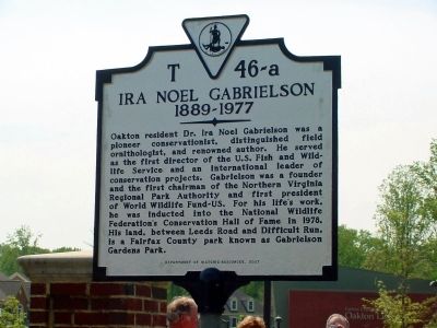
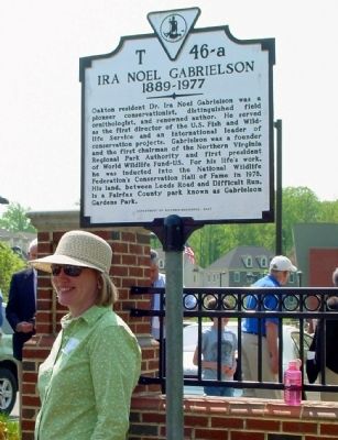
Ira Noel Gabrielson
1889–1977
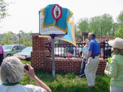
Erected 2007 by Department of Historic Resources, on April 26. (Marker Number T-46-a.)
Topics and series. This historical marker is listed in these topic lists: Animals • Horticulture & Forestry. In addition, it is included in the Virginia Department of Historic Resources (DHR) series list. A significant historical year for this entry is 1978.
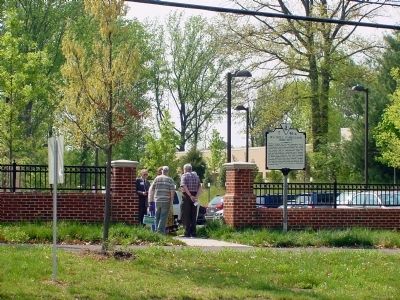
Location. 38° 53.032′ N, 77° 18.078′ W. Marker is in Oakton, Virginia, in Fairfax County. Marker is at the intersection of Hunter Mill Road (County Route 674) and Lynhaven Place, on the left when traveling north on Hunter Mill Road. It is at the Oakton Library, just outside the sidewalk entrance gate (the gap in the fence between the parking lot and the road). Touch for map. Marker is in this post office area: Oakton VA 22124, United States of America. Touch for directions.
Other nearby markers. At least 8 other markers are within 2 miles of this marker, measured as the crow flies. Chain Bridge Road and Hunter Mill Road, Oakton, Virginia (approx. 0.2 miles away); Hunter Mill Road (approx. 0.2 miles away); Second and Third Oakton Schools (1874-1912) (approx. 0.2 miles away); The Beginning of Oakton Schools (1848-1873) (approx. 0.2 miles away); Historic Cemeteries (approx. half a mile away); First Baptist Church of Vienna (approx. 1.6 miles away); Peyton Anderson (approx. 1.8 miles away); Grandma's Cottage (approx. 2 miles away). Touch for a list and map of all markers in Oakton.
More about this marker. Marker is parallel to the road, so it cannot be easily seen from a moving car.
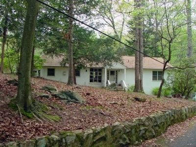
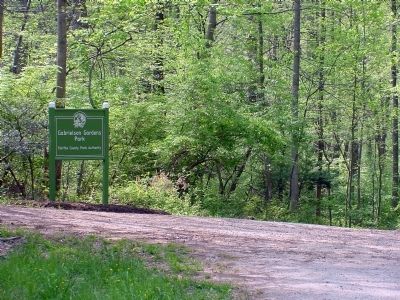
Regarding Ira Noel Gabrielson. Gabrielson Gardens Park, mentioned in the marker, is about 2½ miles west. It is unsigned except at its entrance. From the marker, take Hunter Mill road approx 1¾ miles north (left turn from Library parking lot) and turn left on Hunters Valley Road. It is at the end of Hunters Valley Road, at the intersection with Leeds Road at these coordinates: N38° 54.613', W77° 19.009'. To reach the gardens, look for an unmarked footpath on the left flanked by two
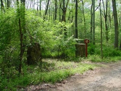
stone pillars as you walk down the dirt road. You’ll find it before you reach Difficult Run (the creek).
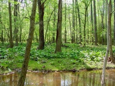
The gardens have returned to nature. Stone retaining walls that once created terraces can be seen leading up the hillside to Dr. Gabrielson’s house from the pond, whose west and north banks have been taken over by bamboo.
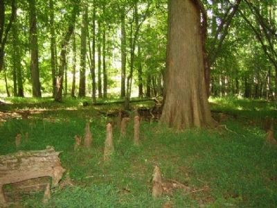
The footpath from the stone pillars meanders through the woods and tunnels through a bamboo stand that opens on the pond. Red and white azaleas line the east bank beside the path and a small cement bench tucked into the azaleas facing the pond makes for a nice stop. Past the pond, the path opens onto a forest floor covered in skunk cabbage. Several 100-foot tall bald cypress trees are in the swampy area near the trail. The oldest ones were planted by Dr. Gabrielson in the 1950s, and their "knees" can be easily seen in the fall and winter months. The path can be muddy and slippery in places.
Also see . . . History on a Stick. “An encounter with a secret pond prompts a woman to create a memorial to a forgotten man.” 2008 article by Patricia Strat in the Washington Post Magazine. (Submitted on June 18, 2008.)
Additional commentary.
1. List of Speakers at the Dedication
Awards for the 2008 Earth Day Art Contest, “Sharing Our Earth”
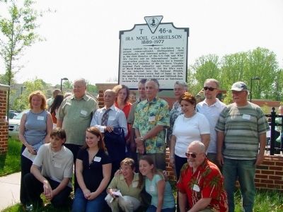
were presented at the dedication. The following persons spoke at the dedication, in the following order. Trish Strat, sponsor of the Gabrielson marker; Jerilyn Polson, branch manager, Oakton Community Library; Patty Reed, President, Friends of the Oakton Library; Emily Jenkins, reading a letter from Providence District Supervisor Linda Smyth; Gerry Connolly, Chairman, Fairfax County Board of Supervisors; Dale Hall, Director, US Fish and Wildlife Service; Dr. Lee Talbot, former Director-General, World Conservation Union; Craig Tufts, Chief Naturalist, National Wildlife Federation; Su Webb, Vice Chairman, Northern Virginia Regional Park Authority Board; Margaret Ackerley, Senion Vice President, World Wildlife Fund-US; Mary Olien, Park Manager, Fairfax County Park Authority; Jean Packard, Board Member, Northern Virginia Regional Park Authority; and Stephen Nesbitt, grandson of Dr. Gabrielson.
— Submitted April 28, 2008.
Credits. This page was last revised on July 7, 2021. It was originally submitted on April 26, 2008, by J. J. Prats of Powell, Ohio. This page has been viewed 6,603 times since then and 68 times this year. Last updated on April 28, 2008, by Patricia Strat of Oakton, Virginia. Photos: 1, 2, 3, 4, 5, 6, 7, 8, 9, 10. submitted on April 26, 2008, by J. J. Prats of Powell, Ohio. 11. submitted on April 28, 2008. • Kevin W. was the editor who published this page.
