Plainwell in Allegan County, Michigan — The American Midwest (Great Lakes)
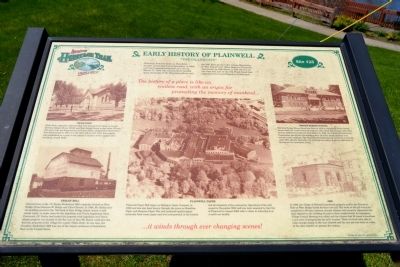
Early History of Plainwell
"The Island City"
— Allegan County Heritage Trail —
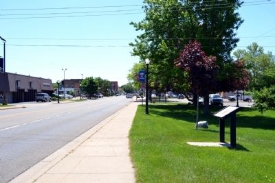
Plainwell, formerly know as Plainfield, became an incorporated municipality in 1869, and later became designated as a city on March 12, 1934. The community is nestled along the banks of the Kalamazoo River and the Mill Race giving it the unique distinction of “The Island City”. Main Street in Plainwell, also known as 10th Street or Old US-131, at one time was part of the Old Plank Road that extended from Grand Rapids to Kalamazoo.
Hicks Park
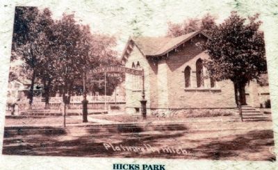
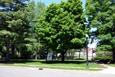
Hicks Park, originally called the Flat Iron because of its shape, is located between Allegan Street (M-89) and West Bridge Street in the center of town. The rear of the pie shaped piece is Church Street. Dedicated at Plainwell’s first homecoming in 1907, it is the city’s oldest park. After the property was established as a park, it was named in memory of the village’s first president, Joseph Hicks.
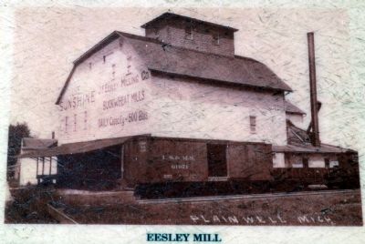
Eesley Mill
Pictured here is the J.F. Eesley Buckwheat Mill originally located on West Bridge Street between W. Bridge and Chart Streets. In 1904, Mr. Eesley had the building moved to the 700 block of East Bridge Street (where it still stands today) to make room for the Ingraham and Travis Implement Store. Previously, J.F. Eesley had traded his property with Ingraham and Travis whose property was located in the flat iron so that Mr. Eesley could give the flat iron property to the village for a park (Hicks Park). At one time, the Sunshine Buckwheat Mill was one of the largest producers of buckwheat flour in the United States.
Plainwell Paper
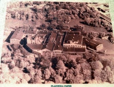
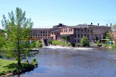
Plainwell Paper Mill began as Michigan Paper Company in 1886 and has also been known through the years as Hamilton Paper and Simpson Paper. The mill produced quality paper materials from waste paper and was instrumental in the history and development of the community. Operations of the mill ceased in November 2000 and was later acquired by the City of Plainwell in August 2006 with a vision to redevelop it as a multi-use facility.
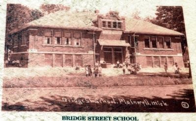
Bridge Street School
The brick Bridge Street School was built in 1910 to replace the White School House which the community had outgrown. The school did not open until 1912 because additional rooms had to be added. In 1968, the School Administration Department moved into this building after all of the school children were moved to new buildings. The Administration Department remained at this site until 1984. Shortly thereafter, the building was sold to a private individual to be restored for apartment living.
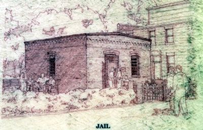
Jail
In 1886, the village of Plainwell purchased property next to the Firemen’s Hall on West Bridge Street for their new jail. The work on the jail was to be completed in 60 days, however, several
citizens with property adjacent to the land objected to the building of a jail in their neighborhood. An emergency Village Council Meeting was called and the citizens had 24 hours to purchase a new piece of property for the jail’s location. Those involved were able to raise enough money in the time allotted and the new jail was built on a site in the alley behind our present fire station.
Erected by City of Plainwell. (Marker Number Stop 28.)
Topics. This historical marker is listed in these topic lists: Education • Industry & Commerce • Settlements & Settlers. A significant historical date for this entry is March 12, 1934.
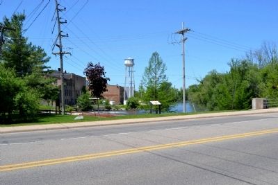
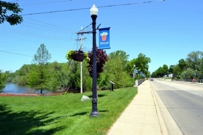
Location. Marker has been permanently removed. It was located near 42° 26.699′ N, 85° 38.52′ W. Marker was in Plainwell, Michigan, in Allegan County. Marker could be reached from N. Main Street north of E. Bannister Street, on the right when traveling south. Touch for map. Marker was in this post office area: Plainwell MI 49080, United States of America.
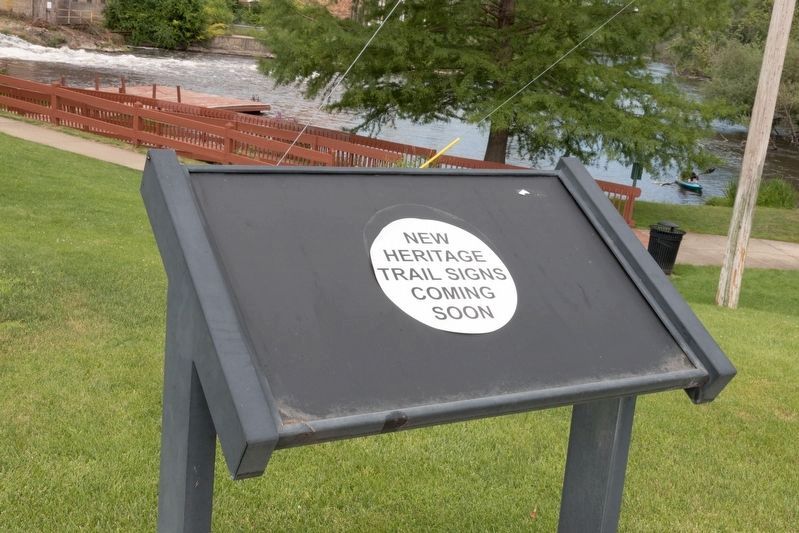
We have been informed that this sign or monument is no longer there and will not be replaced. This page is an archival view of what was.
Other nearby markers. At least 8 other markers are within 7 miles of this location, measured as the
crow flies. Michigan Paper Company Mill (about 300 feet away, measured in a direct line); Soule Memorial Fountain (about 800 feet away); Otsego Methodist Church (approx. 2.9 miles away); Welcome to the City of Otsego (approx. 3 miles away); Otsego Civil War Memorial (approx. 3.1 miles away); Welcome to Pine Creek (approx. 4.7 miles away); Cooper Congregational Church (approx. 4.9 miles away); DeLano Homestead (approx. 6.2 miles away). Touch for a list and map of all markers in Plainwell.
More about this marker. The marker is at Site #28 of the Allegan County Heritage Trail (driving tour).
Credits. This page was last revised on August 5, 2023. It was originally submitted on June 18, 2014, by Duane Hall of Abilene, Texas. This page has been viewed 1,663 times since then and 151 times this year. Photos: 1, 2. submitted on June 18, 2014, by Duane Hall of Abilene, Texas. 3. submitted on August 5, 2023, by J. J. Prats of Powell, Ohio. 4, 5, 6, 7, 8, 9, 10, 11, 12. submitted on June 18, 2014, by Duane Hall of Abilene, Texas.
