Millburn in Essex County, New Jersey — The American Northeast (Mid-Atlantic)
Washington Rock
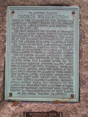
George Washington
The first advance was halted at Connecticut Farms, now Union, June 7th. The British retirement to Elizabethtown was marked by the burning of Connecticut Farms and the murder of Parson Caldwell’s wife.
On June 23rd British and Hessian troops under General Knyphausen were repulsed at Springfield by American troops commanded by General Nathaniel Greene.
The 2nd Rhode Island Regiment, under Col. Angell, was stationed at the easterly bridge over the Rahway River, on the Main Road (Morris Avenue). Major “Light Horse Harry” Lee, with colonial veterans and local militia, held the bridge at Vaux Hall Road. Forced to abandon their effort, the British, after burning Springfield Village, quit New Jersey soil forever.
In this battle Parson Caldwell brought hymn-books from his church to the American gunners who had used up their supply of wadding, shouting “Boys, Give ‘em Watts!” as commemorated by Bret Harte in his poem “Parson Caldwell.”
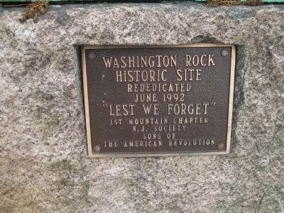
Erected 1992 by 1st Mountain Chapter Sons of the American Revolution.
Topics and series. This historical marker is listed in this topic list: War, US Revolutionary. In addition, it is included in the Sons of the American Revolution (SAR) series list. A significant historical date for this entry is June 7, 1938.
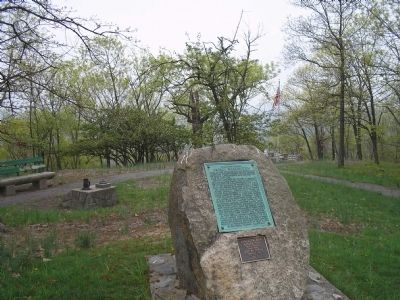
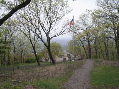
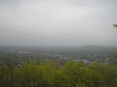
Location. 40° 43.74′ N, 74° 18.018′ W. Marker is in Millburn, New Jersey, in Essex County. Marker is on Crest Drive, on the left when traveling north. Marker is in South Mountain Reservation, at the end of Crest Drive. Touch for map. Marker is in this post office area: Millburn NJ 07041, United States of America. Touch for directions.
Other nearby markers. At least 8 other markers are within 2 miles of this marker, measured as the crow flies. First Meeting of the Wyoming Presbyterian Church (approx. 0.4 miles away); Paper Mill Playhouse (approx. half a mile away); Angelo Del Rossi (approx. half a mile away); Baldwin Court (approx. half a mile away); Last British Thrust into New Jersey (approx. 0.6 miles away); American Delaying Action (approx. 0.7 miles away); Battle of Springfield (approx. ¾ mile away); Asher Brown Durand (approx. 1.2 miles away). Touch for a list and map of all markers in Millburn.
Also see . . . The Battles of Connecticut Farms and Springfield. (Submitted on May 3, 2008, by Bill Coughlin of Woodland Park, New Jersey.)
Credits. This page was last revised on November 24, 2019. It was originally submitted on May 3, 2008, by Bill Coughlin of Woodland Park, New Jersey. This page has been viewed 1,834 times since then and 58 times this year. Photos: 1, 2, 3, 4, 5, 6. submitted on May 3, 2008, by Bill Coughlin of Woodland Park, New Jersey. • Kevin W. was the editor who published this page.
