Troy in Miami County, Ohio — The American Midwest (Great Lakes)
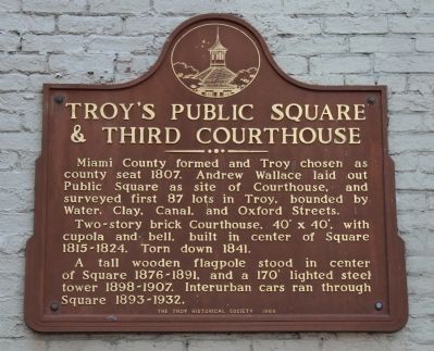
Troy's Public Square & Third Courthouse
Inscription.
Miami County formed and Troy chosen as county seat in 1807. Andrew Wallace laid out Public Square as site of Courthouse, and surveyed first 87 lots of Troy, bounded by Water, Clay, Canal, and Oxford Streets.
Two-story brick Courthouse, 40' x 40', with cupola and bell, built in center of Square 1815-1824. Torn down 1841.
A tall wooden flagpole stood in center of Square 1876-1891, and a 170' lighted steel tower 1898-1907. Interurban cars ran through Square 1893-1932.
Erected 1969 by the Troy Historical Society.
Topics. This historical marker is listed in these topic lists: Railroads & Streetcars • Settlements & Settlers. A significant historical year for this entry is 1807.
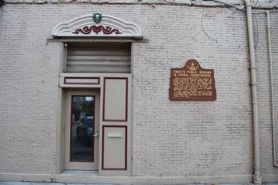
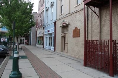
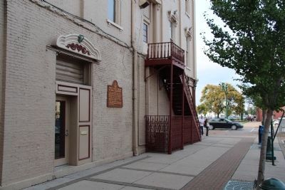
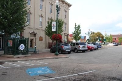
Location. 40° 2.369′ N, 84° 12.225′ W. Marker is in Troy, Ohio, in Miami County. Marker is at the intersection of South Market Street (Ohio Route 55) and West Main Street (Ohio Route 41), on the left when traveling north on South Market Street. This historical marker is located in the center of the downtown area, in the community's public square, on the southwest corner, affixed to the outer wall of a commercial building. Touch for map. Marker is in this post office area: Troy OH 45373, United States of America. Touch for directions.
Other nearby markers. At least 8 other markers are within walking distance of this marker. WACO History (about 300 feet away, measured in a direct line); Courthouses and Jail (about 400 feet away); Troy Presbyterian Church (about 400 feet away); Sheriff’s House and Jail (about 500 feet away); LFWB&G Building (about 600 feet away); Statue Of Transportation (about 700 feet away); These Stones… (about 700 feet away); Miami County War Savings Quota Plaque (about 700 feet away). Touch for a list and map of all markers in Troy.
Credits. This page was last revised on June 16, 2016. It was originally submitted on August 25, 2014, by Dale K. Benington of Toledo, Ohio. This page has been viewed 467 times since then and 32 times this year. Photos: 1, 2, 3, 4, 5. submitted on August 25, 2014, by Dale K. Benington of Toledo, Ohio.
