Near Oak Hill in Fayette County, West Virginia — The American South (Appalachia)
Oakwood Mine Complex
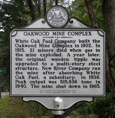
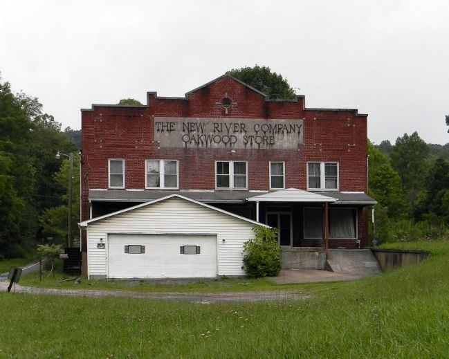
White Oak Fuel Company built the Oakwood Mine Complex in 1902. In 1915, 21 miners died when gas in the mine exploded. A year later, the original wooden tipple was upgraded to a multi-story steel structure. New River Company ran the mine after absorbing White Oak Fuel, a subsidiary, in 1936. Peak output was 515,936 tons in 1940. The mine shut down in 1965.
Erected 2012 by West Virginia Dep Abandoned Mine Lands
West Virginia Archives & History.
Topics and series. This historical marker is listed in this topic list: Industry & Commerce. In addition, it is included in the West Virginia Archives and History series list. A significant historical year for this entry is 1902.
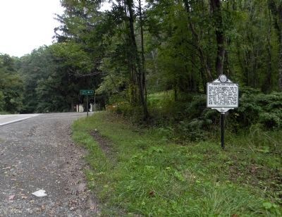
Location. 37° 57.878′ N, 81° 11.425′ W. Marker is near Oak Hill, West Virginia, in Fayette County. Marker is at the intersection of West Virginia Route 612 and Torrey Fork Road (County Route 15/2), on the right when traveling west on State Route 612. Touch for map. Marker is in this post office area: Oak Hill WV 25901, United States of America. Touch for directions.
Other nearby markers. At least 8 other markers are within 3 miles of this marker, measured as the crow flies. The White Oak Valley (approx. 1.4 miles away); Labor Strikes and Conflicts (approx. 1.4 miles away); Disaster Underground (approx. 1.4 miles away); Community Life in a Coal Camp (approx. 1.4 miles away); The Coal Barons (approx. 1.4 miles away); Hank Williams Memorial (approx. 2.3 miles away); Hank Williams — The Last Ride (approx. 2.4 miles away); Oak Hill Railroad Depot (approx. 2.4 miles away). Touch for a list and map of all markers in Oak Hill.
Also see . . . National Coal Heritage Area & Coal Heritage Trail. West Virginia website entry (Submitted on January 23, 2022, by Larry Gertner of New York, New York.)
Credits. This page was last revised on January 23, 2022. It was originally submitted on August 30, 2014, by PaulwC3 of Northern, Virginia. This page has been viewed 1,003 times since then and 94 times this year. Photos: 1, 2, 3. submitted on August 30, 2014, by PaulwC3 of Northern, Virginia.


