Old Bennington in Bennington County, Vermont — The American Northeast (New England)
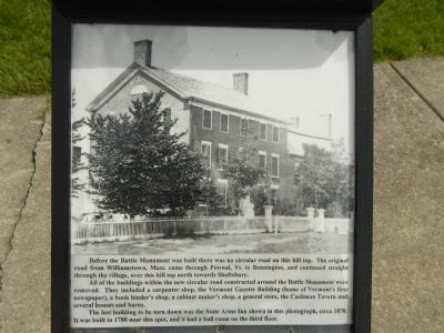
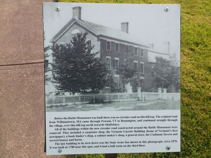
Before the Battle Monument
All of the buildings within the new circular road constructed around the Battle Monument were removed They included a carpenter shop, the Vermont Gazette Building (home of Vermontís first newspaper), a book binderís shop, a cabinet makerís shop, a general store, the Cushman Tavern and several homes and barns.
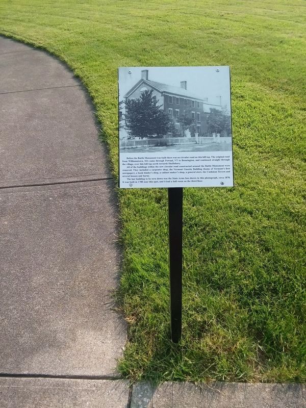
The last building to be torn down was the State Arms Inn shown in this photograph, circa 1870. It was built in 1780 near this spot, and it had a ball room on the third floor.
Topics. This historical marker and monument is listed in this topic list: Landmarks. A significant historical year for this entry is 1870.
Location. 42° 53.308′ N, 73° 12.93′ W. Marker is in Old Bennington, Vermont, in Bennington County. Marker is at the intersection of Monument Circle and Monument Avenue on Monument Circle. Touch for map. Marker is at or near this postal address: 19 Monument Circle, Bennington VT 05201, United States of America. Touch for directions.
Other nearby markers. At least 8 other markers are within walking distance of this marker. Colonel Seth Warner (a few steps from this marker); View of the Hill Top (within shouting distance of this marker); New Hampshire at the Battle of Bennington (about 300 feet away, measured in a direct line); Battle of Bennington (about 300 feet away); Continental Storehouse Site (about 300 feet away); Anthony Haswell (about 300 feet away); John Stark (about 400 feet away); Captain Samuel Robinson (approx. 0.2 miles away). Touch for a list and map of all markers in Old Bennington.
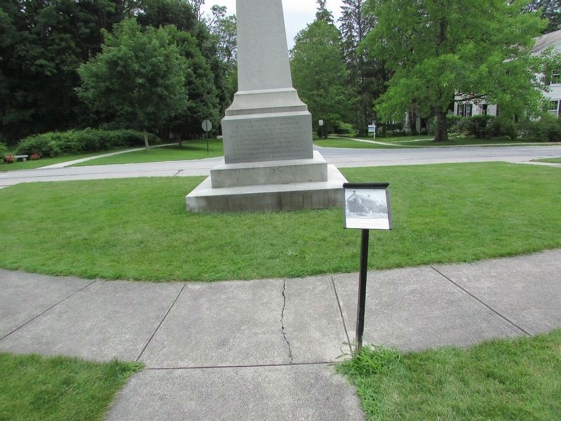
More about this monument. This marker is locate on the grounds of the Bennington Battle Monument
Also see . . . Bennington Battle Monument. The monument, while 10 miles (16 km) from the relevant battlefield, is located very close to what was once the site of the Catamount Tavern, where Ethan Allen and the Green Mountain Boys planned their attack on Fort Ticonderoga in 1775. (Submitted on September 11, 2014, by Barry Swackhamer of Brentwood, California.)
Credits. This page was last revised on February 16, 2023. It was originally submitted on September 11, 2014, by Barry Swackhamer of Brentwood, California. This page has been viewed 531 times since then and 12 times this year. Photos: 1. submitted on September 11, 2014, by Barry Swackhamer of Brentwood, California. 2. submitted on July 14, 2017, by Bill Coughlin of Woodland Park, New Jersey. 3, 4. submitted on December 6, 2020, by Craig Doda of Napoleon, Ohio. • Bill Pfingsten was the editor who published this page.


