Fayetteville in Cumberland County, North Carolina — The American South (South Atlantic)
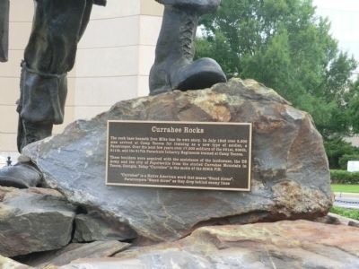
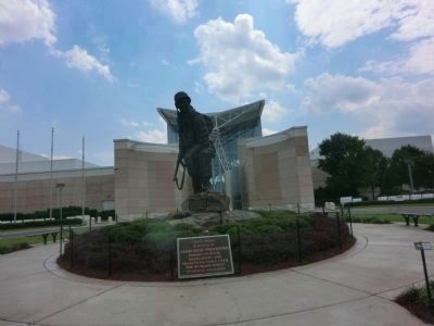
Currahee Rocks
The boulders were acquired with the assistance of the landowner, the US Army and the city of Fayetteville from the storied Currahee Mountain in Toccoa, Georgia. Today “Currahee” is the motto of the 506th PIR.
“Currahee” is a Native American word that means “Stand Alone”. Paratroopers “Stand Alone” as they drop behind enemy lines
Topics. This memorial is listed in this topic list: War, World II. A significant historical month for this entry is July 1942.
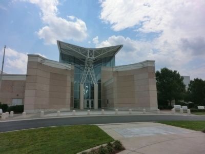
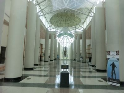
Location. 35° 3.392′ N, 78° 53.13′ W. Marker is in Fayetteville, North Carolina, in Cumberland County. Memorial can be reached from Bragg Boulevard south of Walter Street, on the left when traveling south. The marker is on the grounds of the Airborne & Special Operations Museum. Touch for map. Marker is at or near this postal address: 100 Bragg Blvd, Fayetteville NC 28301, United States of America. Touch for directions.
Other nearby markers. At least 8 other markers are within walking distance of this marker. Edward J. Hale House (about 800 feet away, measured in a direct line); Scotch Spring (approx. 0.2 miles away); Highsmith-Rainey Memorial Hospital (approx. 0.2 miles away); Sherman's Army (approx. ¼ mile away); Settlement of the Upper Cape Fear (approx. 0.3 miles away); U.S. Arsenal (approx. 0.4 miles away); Plummer Bridge (approx. 0.4 miles away); Arsenal (approx. 0.4 miles away). Touch for a list and map of all markers in Fayetteville.
Credits. This page was last revised on June 16, 2016. It was originally submitted on September 21, 2014, by Don Morfe of Baltimore, Maryland. This page has been viewed 741 times since then and 36 times this year. Photos: 1, 2, 3, 4. submitted on September 21, 2014, by Don Morfe of Baltimore, Maryland. • Bernard Fisher was the editor who published this page.


