Everest in Brown County, Kansas — The American Midwest (Upper Plains)
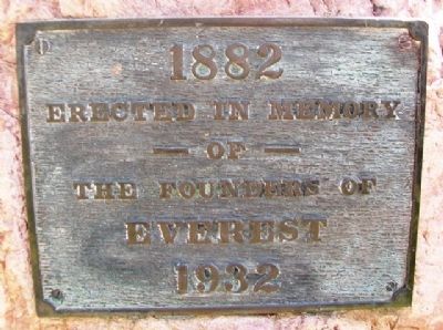
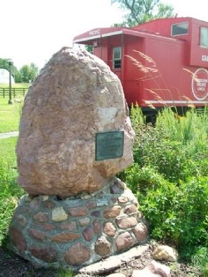
The Founders of Everest
1882 - 1932
of
the Founders of Everest
Erected 1932.
Topics. This historical marker is listed in this topic list: Settlements & Settlers.
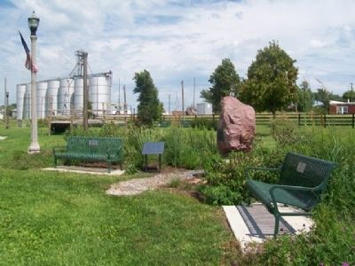
Location. 39° 40.602′ N, 95° 25.455′ W. Marker is in Everest, Kansas, in Brown County. Marker is at the intersection of 5th Street and Cedar Street, on the right when traveling north on 5th Street. Marker is in the Community Park and Honor Garden. Touch for map. Marker is in this post office area: Everest KS 66424, United States of America. Touch for directions.
Other nearby markers. At least 8 other markers are within 6 miles of this marker, measured as the crow flies. Prairie Flower Garden (here, next to this marker); Everest 125th Anniversary (here, next to this marker); Everest Honor Garden (a few steps from this marker); Honnell - Means Honor Garden (a few steps from this marker); The "Three Amigos" Tree (a few steps from this marker); School Bell - 1886 (approx. 0.2 miles away); First REA Project in Kansas (approx. 5.1 miles away); "Four Horsemen of the Lines" (approx. 5˝ miles away). Touch for a list and map of all markers in Everest.
Also see . . . Brown County, Kansas in Cutler's History (1883). (Submitted on October 12, 2014, by William Fischer, Jr. of Scranton, Pennsylvania.)
Credits. This page was last revised on June 16, 2016. It was originally submitted on October 12, 2014, by William Fischer, Jr. of Scranton, Pennsylvania. This page has been viewed 445 times since then and 22 times this year. Photos: 1, 2, 3, 4. submitted on October 12, 2014, by William Fischer, Jr. of Scranton, Pennsylvania.


