Near Jacksonboro in Colleton County, South Carolina — The American South (South Atlantic)
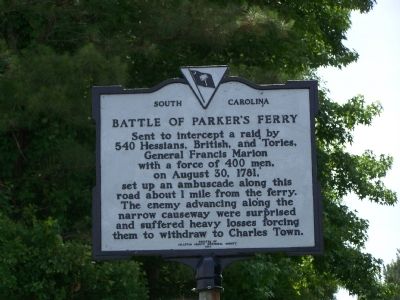
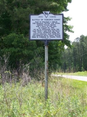
Battle Of Parker's Ferry
Erected 1961 by Colleton County Historical Society. (Marker Number 15-12.)
Topics and series. This historical marker is listed in this topic list: War, US Revolutionary. In addition, it is included in the South Carolina, Colleton County Historical Society series list. A significant historical year for this entry is 1781.
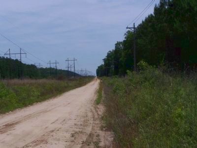
Location. 32° 48.082′ N, 80° 30.183′ W. Marker is near Jacksonboro, South Carolina, in Colleton County. Marker is at the intersection of Charleston Highway (State Highway 64) and Parker's Ferry Road, on the left when traveling east on Charleston Highway. 11 miles East of Walterboro, South Carolina. Touch for map. Marker is in this post office area: Jacksonboro SC 29452, United States of America. Touch for directions.
Other nearby markers. At least 8 other markers are within 4 miles of this marker, measured as the crow flies. Bethel Presbyterian Church (approx. half a mile away); The Burial Site of Captain John Herbert Dent (approx. half a mile away); Pon Pon Chapel (approx. 0.9 miles away); Ruins of Pon Pon Chapel of Ease (approx. 0.9 miles away); a different marker also named Pon Pon Chapel (approx. 0.9 miles away); Colonel Issac Hayne (approx. 1.4 miles away); Fateful Choices - The Hanging Of Isaac Hayne (approx. 1.4 miles away); Old Jacksonborough (approx. 4 miles away). Touch for a list and map of all markers in Jacksonboro.
Regarding Battle Of Parker's Ferry. In 1782 the Patriots had an important supply depot at the town, Parker's Ferry.
Also see . . . The Battle of Parker's Ferry. One of many actions in South Carolina involving Francis Marion, "The Swamp Fox." (Submitted on May 26, 2008, by Craig Swain of Leesburg, Virginia.)
Credits. This page was last revised on November 24, 2020. It was originally submitted on May 26, 2008, by Mike Stroud of Bluffton, South Carolina. This page has been viewed 4,593 times since then and 116 times this year. Photos: 1, 2, 3. submitted on May 26, 2008, by Mike Stroud of Bluffton, South Carolina. • Craig Swain was the editor who published this page.


