Colliers in Brooke County, West Virginia — The American South (Appalachia)
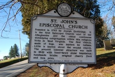
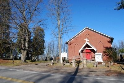
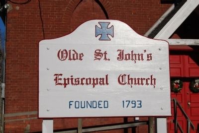
St. John's Episcopal Church
Erected 1970 by West Virginia Department of Archives and History.
Topics and series. This historical marker is listed in this topic list: Churches & Religion. In addition, it is included in the West Virginia Archives and History series list. A significant historical year for this entry is 1793.
Location. 40° 20.958′ N, 80° 32.928′ W. Marker is in Colliers, West Virginia, in Brooke County. Marker can be reached from the intersection of Eldersville Road (West Virginia Route 27) and St. John's Road, on the right when traveling west. Touch for map. Marker is in this post office area: Colliers WV 26035, United States of America. Touch for directions.
Other nearby markers. At least 8 other markers are within 3 miles of this marker, measured as the crow flies. All Gave Some · Some Gave All (approx. 2.9 miles away); Veterans Memorial (approx. 2.9 miles away); Joseph "Joey" Perito (approx. 2.9 miles away); Women Of All Wars (approx. 2.9 miles away); Fort Decker (approx. 3 miles away); Power Veterans Memorial (approx. 3.1 miles away); Village of Power / Windsor Power Plant (approx. 3.1 miles away); Market Street Bridge (approx. 3.1 miles away).
Credits. This page was last revised on June 16, 2016. It was originally submitted on December 26, 2014, by Mike Wintermantel of Pittsburgh, Pennsylvania. This page has been viewed 509 times since then and 32 times this year. Photos: 1, 2, 3. submitted on December 26, 2014, by Mike Wintermantel of Pittsburgh, Pennsylvania.


