Bethany in Brooke County, West Virginia — The American South (Appalachia)
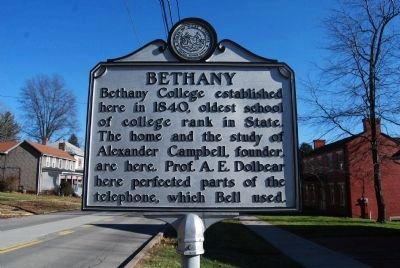
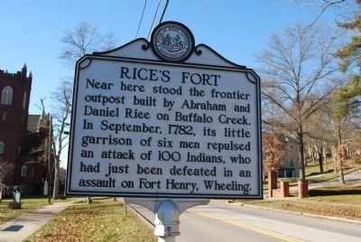
Bethany / Rice's Fort
Topics and series. This historical marker is listed in these topic lists: Education • Forts and Castles • Settlements & Settlers. In addition, it is included in the West Virginia Archives and History series list. A significant historical month for this entry is September 1782.
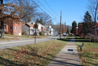
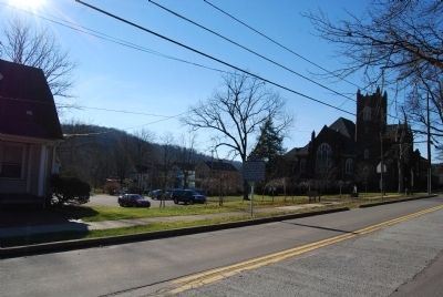
Location. 40° 12.31′ N, 80° 33.445′ W. Marker is in Bethany, West Virginia, in Brooke County. Marker is at the intersection of Main Street (Route 67) and Fairway Street, on the right when traveling east on Main Street. Touch for map. Marker is in this post office area: Bethany WV 26032, United States of America. Touch for directions.
Other nearby markers. At least 8 other markers are within 4 miles of this marker, measured as the crow flies. Delta Tau Delta Birthplace (within shouting distance of this marker); Renner Union - Bethany House (within shouting distance of this marker); Bethany Church of Christ (approx. 0.2 miles away); Bethany / Bethany College (approx. 0.4 miles away); Thomas Campbell (approx. 0.6 miles away); Archibald McLean (approx. 0.6 miles away); POW★MIA Memorial (approx. 3.1 miles away); Revolutionary War Soldiers (approx. 3.2 miles away). Touch for a list and map of all markers in Bethany.
Also see . . . Bethany West Virginia. (Submitted on December 26, 2014, by Mike Wintermantel of Pittsburgh, Pennsylvania.)
Credits. This page was last revised on June 8, 2020. It was originally submitted on December 26, 2014, by Mike Wintermantel of Pittsburgh, Pennsylvania. This page has been viewed 654 times since then and 23 times this year. Photos: 1, 2, 3, 4. submitted on December 26, 2014, by Mike Wintermantel of Pittsburgh, Pennsylvania.


