Albany in Shackelford County, Texas — The American South (West South Central)
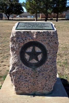
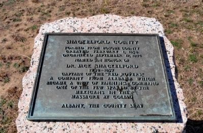
Shackelford County
Created February 1, 1858
Organized September 12, 1874
Named in Honor of
Dr. Jack Shackelford
1790–1857
Captain of the “Red Rovers”,
a company from Alabama which
became a unit of Fanninís Command
one of the few spared by the
Mexicans in the
Massacre at Goliad
Albany, the County Seat
Erected 1936 by Texas Highway Department. (Marker Number 4647.)
Topics and series. This historical marker is listed in this topic list: Settlements & Settlers. In addition, it is included in the Texas 1936 Centennial Markers and Monuments series list. A significant historical date for this entry is February 1, 1858.
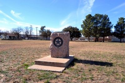
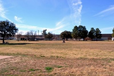
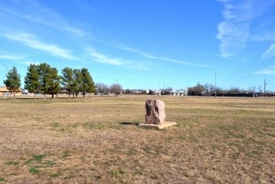
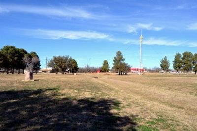
Location. 32° 43.019′ N, 99° 18.074′ W. Marker is in Albany, Texas, in Shackelford County. Marker can be reached from the intersection of U.S. 180 and U.S. 283. Marker is located near the center of Spudder Park. Touch for map. Marker is in this post office area: Albany TX 76430, United States of America. Touch for directions.
Other nearby markers. At least 8 other markers are within walking distance of this marker. The Cook Ranch Oil Field (within shouting distance of this marker); Robert Edward Nail, Jr. (approx. 0.4 miles away); Jackson Warehouse (approx. 0.4 miles away); White Elephant Saloon (approx. half a mile away); Hartfield Building (approx. half a mile away); a different marker also named Shackelford County (approx. half a mile away); The Rev. John Brown, Clara Barton and the 1886-1887 Drought Relief (approx. half a mile away); First Producing Oil Well in West Texas (approx. half a mile away). Touch for a list and map of all markers in Albany.
Also see . . .
1. Shackelford County. From the Texas State Historical Associationís “Handbook of Texas Online”. (Submitted on December 31, 2014.)
2. Jack Shackelford. From the Texas State Historical Associationís “Handbook of Texas Online”. (Submitted on December 31, 2014.)
Credits. This page was last revised on June 16, 2016. It was originally submitted on December 31, 2014, by Duane Hall of Abilene, Texas. This page has been viewed 439 times since then and 9 times this year. Photos: 1, 2, 3, 4, 5, 6. submitted on December 31, 2014, by Duane Hall of Abilene, Texas.
