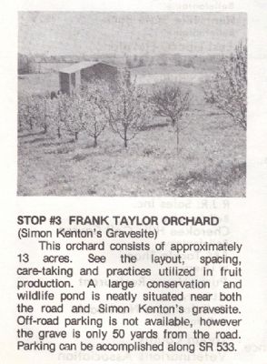
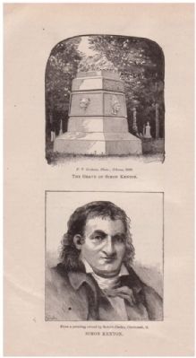
Near Bellefontaine in Logan County, Ohio — The American Midwest (Great Lakes)
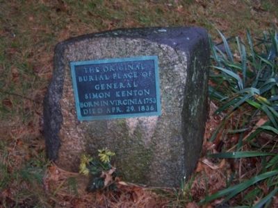
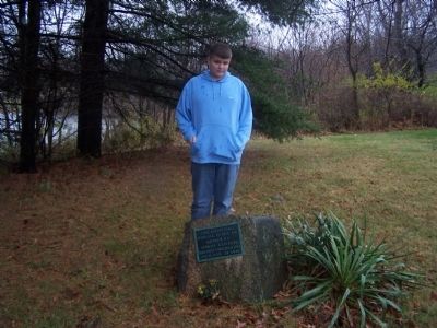
The Original Burial Place of General Simon Kenton
A Place of Legend
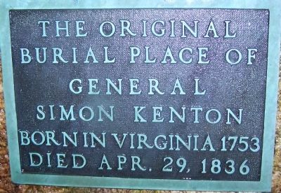
Inscription.
The Original
Burial Place of
General
Simon Kenton
born in Virginia 1753 --
died Apr. 29, 1836
Topics. This historical marker is listed in this topic list: Settlements & Settlers. A significant historical date for this entry is April 29, 1836.
Location. 40° 22.694′ N, 83° 39.393′ W. Marker is near Bellefontaine, Ohio, in Logan County. Marker is on Old Sandusky Trail (Ohio Route 533), on the right when traveling north. marker is about 800 feet north of the tiny hamlet of New Jerusalem (intersection of St Rt 540). It is back a grassy lane, after the 2nd driveway to the east. This is private property, but I have always been told there was a public easement to the site. In 2014, St Rt 533 was downgraded to it’s original status as a section of Logan County Road 5, the “Old Sandusky Trail”. Touch for map. Marker is at or near this postal address: 199 OH-533, Bellefontaine OH 43311, United States of America. Touch for directions.
Other nearby markers. At least 8 other markers are within 3 miles of this marker, measured as the crow flies. Jefferson Township Veterans Memorial (approx. 2.8 miles away); Ebenezer Zane Cabin (approx. 2.9 miles away); Helen Wonders Blue Memorial Park (approx. 2.9 miles away); China Flats (approx. 3 miles away); Historic Logan County (approx. 3 miles away); Myeerah Trail (approx. 3 miles away); Zanesfield (approx. 3 miles away); Site of Fort Wapatomica (approx. 3.1 miles away).
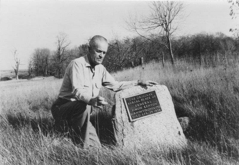
Photographed By Rev. Ronald Irick, circa 1966
4. The Original Burial Place of General Simon Kenton Marker
John Francis Curl, grandfather of Don Holycross, at the original burial site of Simon Kenton. John owned thr farm from 1942 to 1977. He then sold it to Frank Taylor, Don's uncle. This is the way I found it in 1969. Ron Irick
Photographed By Rev. Ronald Irick
7. The Original Burial Place of General Simon Kenton Marker
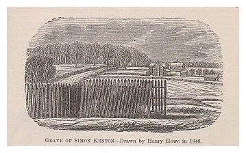
1846 drawing of the site, by Henry Howe, from Vol. II of Historical Collections of Ohio. House in background is William Kenton's farm (son of Simon Kenton) The fork in the creek is now under the pond. The original stone marker, in the picket was moved to Urbana. The road in front of the house is the Old Sandusky Trail, now Co Rd 5
Photographed By Rev. Ronald Irick, April 2, 1971
10. The Original Burial Place of General Simon Kenton Marker
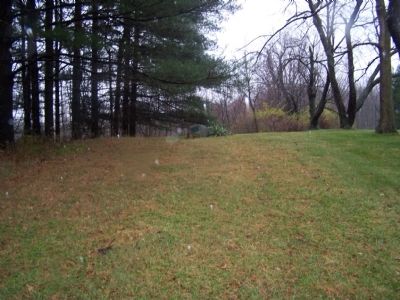
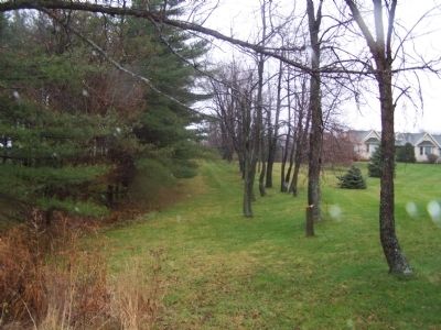
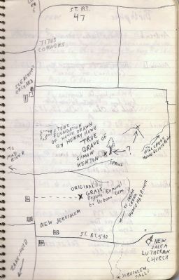
Hand drawn map by Ron Irick. Area was open grass pasture fields in 1971. Stone foundation of William Kenton's house was visible. Fork in creek was clearly visible. Grassy lane led up hill from two fence posts to single boulder. Further east was the "Simon Kenton Spring"
Credits. This page was last revised on February 14, 2021. It was originally submitted on February 5, 2015, by Rev. Ronald Irick of West Liberty, Ohio. This page has been viewed 1,705 times since then and 180 times this year. Photos: 1, 2, 3. submitted on February 5, 2015, by Rev. Ronald Irick of West Liberty, Ohio. 4. submitted on February 14, 2021, by Rev. Ronald Irick of West Liberty, Ohio. 5, 6, 7, 8, 9, 10. submitted on February 5, 2015, by Rev. Ronald Irick of West Liberty, Ohio. • Al Wolf was the editor who published this page.
