Near New Carlisle in Clark County, Ohio — The American Midwest (Great Lakes)
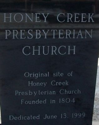
Honey Creek Presbyterian Church
Original Site
Inscription.
Original site of
Honey Creek
Presbyterian Church
Founded 1804
Dedicated June 13, 1999
Erected 1999.
Topics. This historical marker is listed in this topic list: Churches & Religion. A significant historical date for this entry is June 13, 1793.
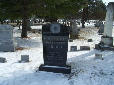
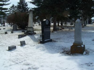
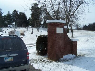
Location. 39° 55.459′ N, 84° 1.794′ W. Marker is near New Carlisle, Ohio, in Clark County. Marker is on Dayton-Lakeview Rd (Ohio Route 235), on the left when traveling south. marker is on the west side of New Carlisle Cemetery, off St Rt 235 it is approximately ½ way down the west line of the cemetery, on the access lane, which runs parallel with Tecumseh Trail (hiking path). Touch for map. Marker is at or near this postal address: 499 N Dayton-Lakeview Rd, New Carlisle OH 45344, United States of America. Touch for directions.
Other nearby markers. At least 8 other markers are within 4 miles of this marker, measured as the crow flies. Bethel Township Civil War Memorial (about 600 feet away, measured in a direct line); John Paul, First White Settler in Clark County, Ohio (about 700 feet away); Gordon I. Henslee (approx. 0.7 miles away); Honey Creek Presbyterian Historical Marker (approx. 0.8 miles away); John Dillinger's First Bank Robbery (approx. 0.8 miles away); Olive Branch High School (approx. 2.1 miles away); Medway in the 20th Century (approx. 3.1 miles away); Benjamin Garver Lamme / Bertha Lamme (approx. 3.1 miles away). Touch for a list and map of all markers in New Carlisle.
Credits. This page was last revised on June 16, 2016. It was originally submitted on February 7, 2015, by Rev. Ronald Irick of West Liberty, Ohio. This page has been viewed 402 times since then and 24 times this year. Photos: 1, 2, 3, 4, 5, 6. submitted on February 7, 2015, by Rev. Ronald Irick of West Liberty, Ohio. • Al Wolf was the editor who published this page.
