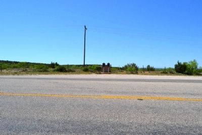
Near Silver in Coke County, Texas — The American South (West South Central)
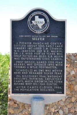
Silver
Coke County Cattle, Oil and Gas Center
Post office, named for peak nearby, was opened 1890 with Thomas J. Wylie postmaster.
School (2 mi. SW) was moved here and renamed Silver Peak.
Oil discovery, 1946, brought drilling, refining, employees’ camps, much growth. The town became busy oil-gas center.
After camps closed, 1966, the population declined.
Erected 1969 by Texas Historical Commission. (Marker Number 4695.)
Topics. This historical marker is listed in these topic lists: Industry & Commerce • Settlements & Settlers. A significant historical year for this entry is 1880.
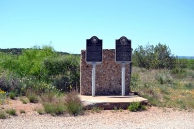
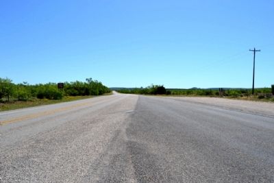
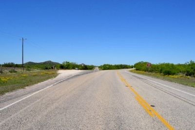
Location. 32° 4.245′ N, 100° 39.872′ W. Marker is near Silver, Texas, in Coke County. Marker is at the intersection of State Highway 208 and Ranch to Market Road 1672, on the left on State Highway 208. Touch for map. Marker is in this post office area: Silver TX 76949, United States of America. Touch for directions.
Other nearby markers. At least 8 other markers are within 17 miles of this marker, measured as the crow flies. First Producing Oil Well (here, next to this marker); Old Community of Cedar Hill (approx. 6 miles away); Sanco (approx. 9.3 miles away); Edith (approx. 12 miles away); First Methodist Church of Robert Lee (approx. 16 miles away); a different marker also named Silver (approx. 16.1 miles away); Coke County Jail (approx. 16.1 miles away); Hayrick Lodge 696, A.F.&A.M. (approx. 16.1 miles away). Touch for a list and map of all markers in Silver.
More about this marker. Etched on the bottom border of the marker is “Erected in Memory of Silver Pioneers”.
Also see . . . Silver, TX. From the Texas State Historical Association’s “Handbook of Texas Online”. (Submitted on May 8, 2015.)
Credits. This page was last revised on June 16, 2016. It was originally submitted on May 8, 2015, by Duane Hall of Abilene, Texas. This page has been viewed 521 times since then and 23 times this year. Photos: 1, 2, 3, 4, 5. submitted on May 8, 2015, by Duane Hall of Abilene, Texas.
