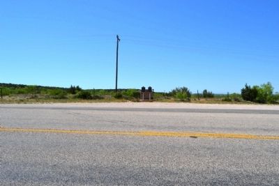
Near Silver in Coke County, Texas — The American South (West South Central)
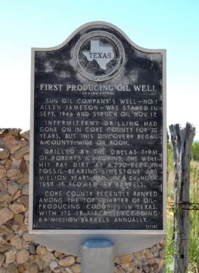
First Producing Oil Well
In Coke County
Sun Oil Company’s well – No. 1 Allen Jameson – was staked in Sept. 1946 and struck oil Nov. 17.
Intermittent drilling had gone on in Coke County for 30 years, but this discovery began a county-wide oil boom.
Drilled by the Dallas firm of Roberts & Hawkins, the well hit pay dirt at 6,230 feet in fossil-bearing limestone 280 million years old. In a 24-hour test it flowed 168 barrels.
Coke County recently ranked among the top quarter of oil-producing counties in Texas, with its 18 fields exceeding 6.4 million barrels annually.
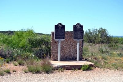
Erected 1968 by State Historical Survey Committee. (Marker Number 1855.)
Topics. This historical marker is listed in this topic list: Industry & Commerce. A significant historical month for this entry is September 1946.
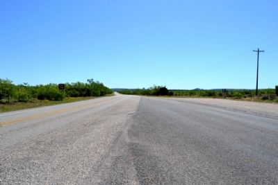
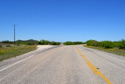
Location. 32° 4.245′ N, 100° 39.872′ W. Marker is near Silver, Texas, in Coke County. Marker is at the intersection of State Highway 208 and Ranch to Market Road 1672, on the left when traveling west on State Highway 208. Touch for map. Marker is in this post office area: Silver TX 76949, United States of America. Touch for directions.
Other nearby markers. At least 8 other markers are within 17 miles of this marker, measured as the crow flies. Silver (here, next to this marker); Old Community of Cedar Hill (approx. 6 miles away); Sanco (approx. 9.3 miles away); Edith (approx. 12 miles away); First Methodist Church of Robert Lee (approx. 16 miles away); a different marker also named Silver (approx. 16.1 miles away); Coke County Jail (approx. 16.1 miles away); Hayrick Lodge 696, A.F.&A.M. (approx. 16.1 miles away). Touch for a list and map of all markers in Silver.
Credits. This page was last revised on November 2, 2020. It was originally submitted on May 8, 2015, by Duane Hall of Abilene, Texas. This page has been viewed 417 times since then and 26 times this year. Photos: 1, 2, 3, 4, 5. submitted on May 8, 2015, by Duane Hall of Abilene, Texas.
